
1. Which province has the fewest communes in the country after the merger?
- A
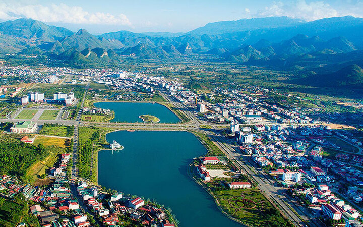
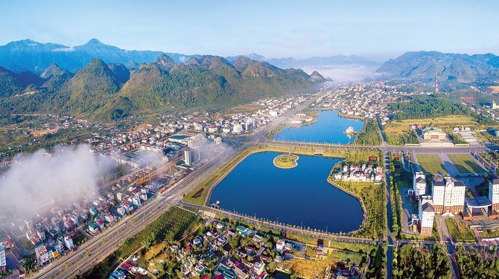
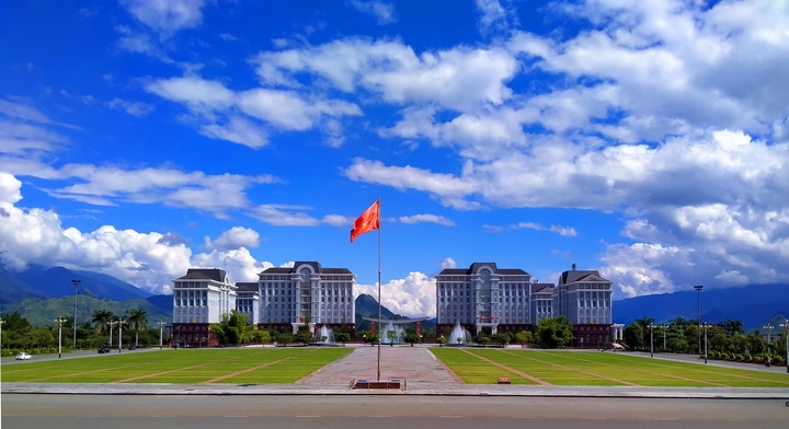
Lai Chau is a northwestern border province of the country, 385 km southeast of Hanoi, with geographical coordinates from 21°41' to 22°50' North latitude and from 102°19' to 103°59' East longitude, bordering Yunnan province of China to the north and northwest, Dien Bien province to the west, Yen Bai to the east and southeast, Dien Bien and Son La provinces to the south.
After the reorganization, Lai Chau province has 38 commune-level administrative units, including 36 communes and 2 wards, a decrease of 64% compared to before. Of which, 2 communes remain the same, namely Mu Ca and Ta Tong. - B
- C
Lao Cai
- D
Dien Bien
2. Lai Chau merged with which province?
- A
Lao Cai
- B
Dien Bien
- C
Son La
- D
Not merged with any province
11 provinces and cities that did not merge include: Hanoi City, Hue City, Lai Chau Province, Dien Bien, Son La, Lang Son, Quang Ninh, Thanh Hoa, Nghe An, Ha Tinh, Cao Bang.
3. The entire area of this province belongs to which river basin?
- A
Red River
- B
Da River
According to the provincial electronic information portal, Lai Chau has very rich surface water resources. The entire area of Lai Chau province belongs to the Da River basin, the river and stream network is relatively dense (there are about 500 large and small streams), the river and stream density is quite high at 5.5-6km/km2.
The Da River runs along Muong Te and Nam Nhun districts, then runs along the south of Sin Ho district, forming a natural boundary between Lai Chau and Dien Bien provinces. The Da River basin has a total annual flow of 6.816 billion m3/year, the Da River basin has a total area of 52,900 km², of which the water-receiving part in China is 26,800 km² and the part in Vietnam is 26,100 km².
In Muong Te and Sin Ho districts, there are 42 tributaries of the Da River with a basin area of F > 10km², with a flow module Mo = 47.78l/s/km², and an annual flow of 8.187 billion m3 of water. The headwaters of the Da River have a total basin area of about 3,400km², accounting for 38% of the province's natural area.
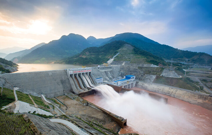
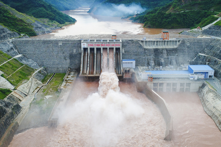
Rivers in Lai Chau have many rapids and large flow rates, so the hydropower potential is huge. - C
Ma River
- D
Lo River

4. Which is the largest hydroelectric plant in Lai Chau province?
- A
Nam Pac 1 and 2 Hydropower Plant
- B
Huoi Quang Hydropower Plant
- C
Lai Chau Hydroelectric Plant
The largest hydroelectric plant in Lai Chau province is Lai Chau Hydroelectric Plant, located on the main stream of the Da River in Nam Hang Commune, Muong Te District. With an installed capacity of 1,200 MW, this is the third largest hydroelectric plant in Vietnam and one of three large hydroelectric projects on the Da River.
Lai Chau Hydropower Plant plays an important role in supplying electricity to the national power system, with an average annual electricity output of about 4,670.8 million kWh according to Vietnam Electricity Group (EVN). - D
Ban Chat Hydroelectric Plant
5. What is the average income per capita of Lai Chau?
- A
1.3 million/person
- B
2.3 million/person
Lai Chau is one of the poorest provinces in the country. According to the General Statistics Office, in 2023, the average income per capita in Lai Chau was 2,324 million VND/person/month, ranking 61/63. In 2025, Lai Chau is targeted by the Government to achieve a growth rate of 8%.
Despite many advantages, Lai Chau's economy still faces many difficulties. Some industries have decreased growth rates such as: civil engineering construction decreased by 10.54%; rubber and plastic product production decreased by 30.48%; textile decreased by 3.29%; bed, wardrobe, table and chair production decreased by 2.29%... These industries account for a small proportion and do not greatly affect the overall growth rate of the whole province. - C
3.3 million/person
- D
4.3 million/person
Source: https://vtcnews.vn/tinh-nao-it-xa-nhat-ca-nuoc-sau-hop-nhat-ar952378.html


Comment (0)