Specifically, the land area for the study to establish the Local Adjustment of the Detailed Planning at the planning block with symbol III.2-CQ1 and part of the planning blocks with symbols III.2-CL, III.2-NO1 of the Detailed Planning of O Cho Dua ward, scale 1/500 at No. 95, lane 31, Hoang Cau street, O Cho Dua ward, Dong Da district, Hanoi, is located: the Northeast side is adjacent to lane 31, Hoang Cau street; the remaining sides are adjacent to existing residential areas.
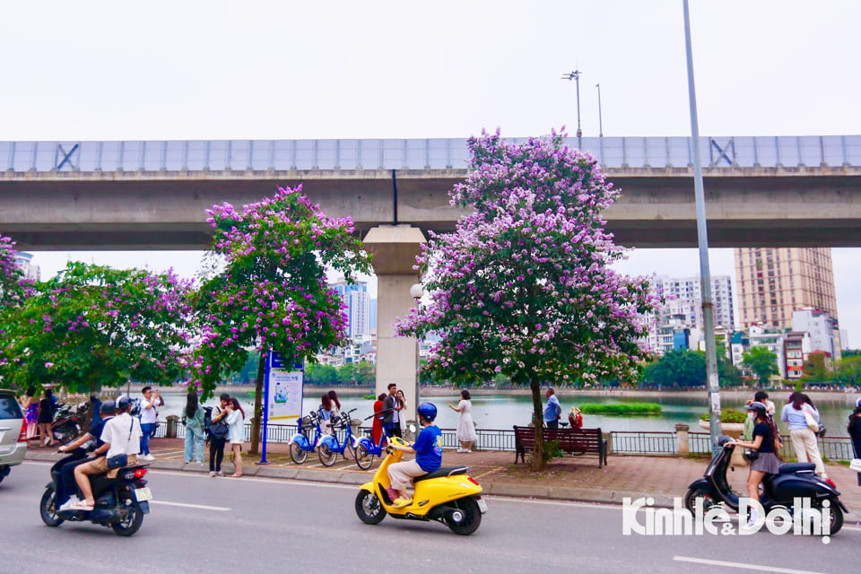
The scale of the land area for local adjustment of the Detailed Planning has a land area of about 5,693.8m2 (the area managed and used by the Vietnam Museum of Fine Arts according to the Certificate of land use rights, house ownership rights and other assets attached to the land No. CS 111680 issued by the Department of Natural Resources and Environment on July 8, 2019).
The adjustment objective is to concretize the H1-3 Urban Zoning Plan, scale 1/2,000, approved by the Hanoi People's Committee in Decision No. 1356/QD-UBND dated March 19, 2021.
Local adjustment of the Detailed Planning at planning block III.2-CQ1 and part of planning blocks III.2-CL, III.2-NO1 under the Detailed Planning of O Cho Dua ward, scale 1/500 at No. 95, lane 31, Hoang Cau street, O Cho Dua ward, Dong Da district to implement the investment project to build the Center for Preservation, Repair and Exhibition of Contemporary Fine Arts, Vietnam Fine Arts Museum according to the Land Use Rights Certificate No. CS 111680 dated July 8, 2019, the project policy has been approved by the Ministry of Culture, Sports and Tourism in the following Decisions: No. 1698/QD - BVHTTDL dated May 26, 2021, No. 2265/QD - BVHTTDL dated September 19, 2022.
The adjustment objective also aims to meet the requirements of developing cultural spaces, improving the quality of experience for visitors and preserving long-standing artistic values, promoting educational activities, seminars and art exchanges, raising the community's understanding and awareness of art; serving as a legal basis for establishing construction investment projects according to approved planning and as a basis for management agencies and local authorities to manage construction according to the provisions of law.
Regarding the organization of architectural landscape space and urban design, according to the drawing of the 1/500 scale spatial organization diagram of planning - architecture and landscape, at land plot No. 95, lane 31, Hoang Cau street, Dong Da district (in the planning block with symbol III.2 - CQ1), there are 2 existing 2-storey buildings, 1 existing 4-storey building and a newly built 3-4-storey building. Now, the layout of the architectural landscape space on the land plot is adjusted to arrange 1, 3 and 5-storey buildings with a height of 30m to ensure the specific requirements of the building serving the exhibition - Museum that requires large space and volume.
The scale of the land, architectural planning standards, construction boundaries and construction distances comply with the conditions determined by the approved local adjustment of the detailed planning. The organization of the architectural landscape space of the land ensures harmony with the landscape space of the area and connects the space with adjacent constructions. The architectural form and color of the construction are in harmony with the general architectural landscape of the constructions in the area.
Requirements for trees: the tree system combined with paving bricks creates a suitable traffic direction, convenient for moving around the land, while unifying the tree species, ensuring the distance between trees, height and trunk diameter meet management and usage requirements, does not obstruct traffic visibility and does not affect urban infrastructure works.
Requirements for lighting and urban utilities: have solutions and lighting arrangements for locations in the construction site; Increase the use of modern and civilized technology such as wireless technology to limit wires and pipes affecting urban aesthetics; arrange trash bins in crowded areas, manage collection and classification of waste at source.
Regarding technical infrastructure planning: the above-mentioned local adjustment of the planning maintains the traffic network around the land and does not change the technical infrastructure system determined according to the approved detailed planning of O Cho Dua ward, scale 1/500.
Parking arrangement in the area of 2 basements of the project (area of about 5000m2). The boundary of the basement construction does not exceed the red line, land plot boundary, complying with the provisions of Decree No. 39/2010/ND-CP dated April 7, 2010 on Management of underground urban construction space.
Construct a 1600KVA transformer station in the basement (load demand is calculated in detail according to the project under study).
Construct a wastewater treatment plant with a capacity of 30m3/day/night located in the basement. After being treated to meet standards, wastewater will be pumped out into the common drainage system.
Source: https://kinhtedothi.vn/phe-duyet-dieu-chinh-chinh-cuc-bo-quy-hoach-chi-tiet-tai-phuong-o-cho-dua.html





![[Photo] Gia Lai provincial leaders offer flowers at Uncle Ho's Monument with the ethnic groups of the Central Highlands](https://vphoto.vietnam.vn/thumb/1200x675/vietnam/resource/IMAGE/2025/7/9/196438801da24b3cb6158d0501984818)







Comment (0)