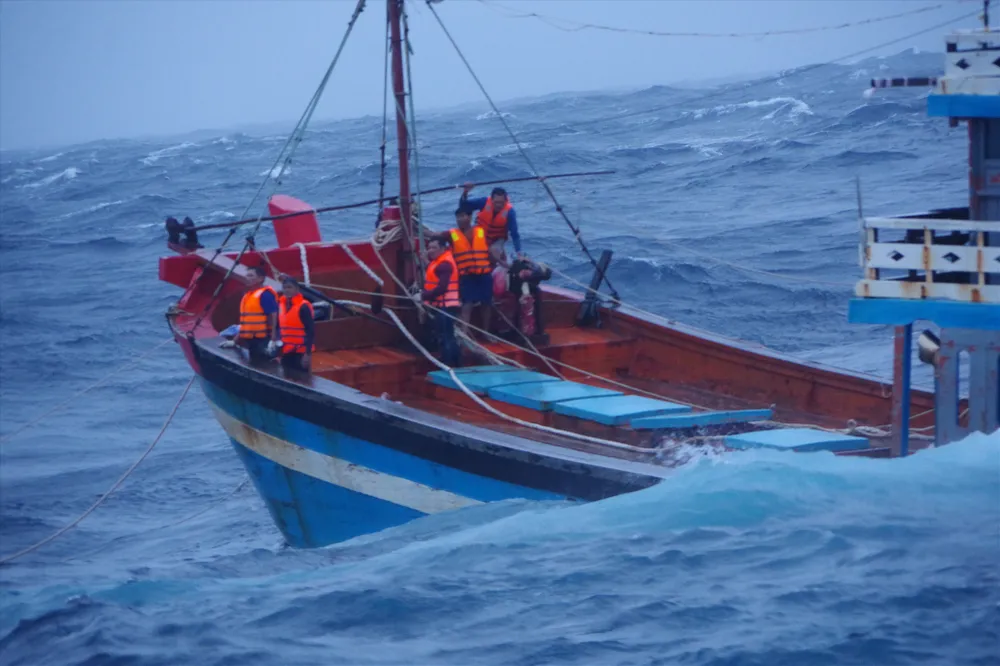
On the evening of August 29, the Ministry of Agriculture and Environment issued an urgent document signed by Deputy Minister Nguyen Hoang Hiep, requesting Da Nang, Quang Ngai and Gia Lai to urgently call for and organize the relocation of all vessels operating in the North East Sea and Hoang Sa special zone to safe shelters.
According to the report of the coastal border guards, as of the afternoon of August 29, there were still 197 ships with 1,641 fishermen operating at sea, of which Da Nang had 72 ships with 598 people; Quang Ngai had 106 ships with 929 people and Gia Lai had 19 ships with 114 people.
The Ministry of Agriculture and Environment requested the People's Committees of the above localities to mobilize maximum forces and means to call, guide, and even apply coercive measures if necessary, to ensure that all ships immediately leave the danger zone and move to safe anchorage areas before the tropical depression strengthens into a storm and causes direct impact.
The document of the Ministry of Agriculture and Environment clearly states that local leaders must take full responsibility for the safety of fishermen's lives and property.
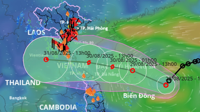
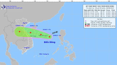
Updated from the National Center for Hydro-Meteorological Forecasting at 7:00 p.m. on August 29, the center of the tropical depression was at about 16.8 degrees North latitude - 111.6 degrees East longitude, only about 560km East Southeast of Quang Tri province, about 430km East of Hue city.
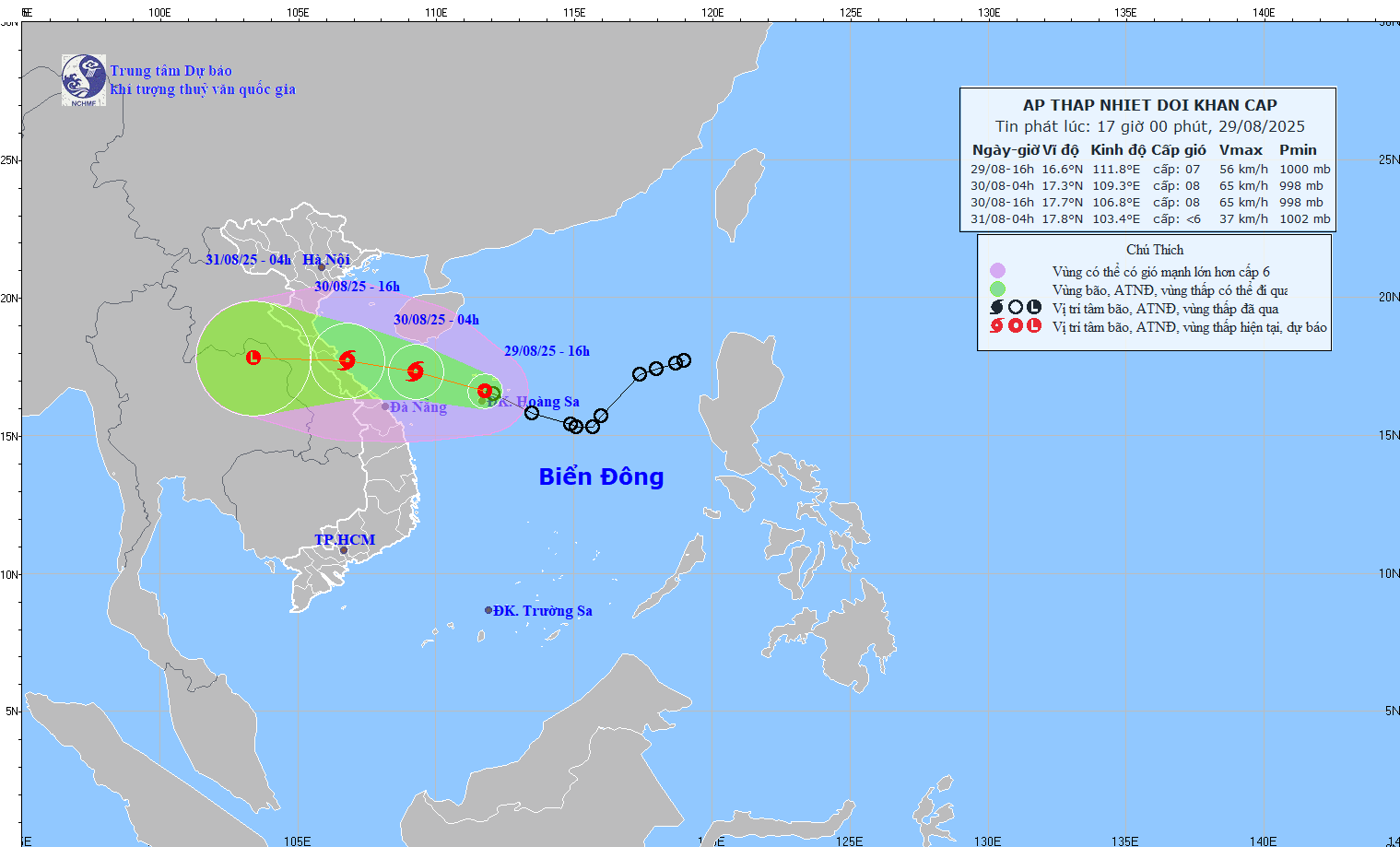
In the next 3 hours, the tropical depression will keep moving mainly in the Northwest direction, with winds of level 7, gusts of level 9, moving quickly and stably at 20-25km/hour.
The National Center for Hydro-Meteorological Forecasting warns that while moving towards the Central Coast, the tropical depression will strengthen into a storm (night of August 29 to early morning of August 30, maintaining intensity at level 8, gusting to level 10).
On August 29, international meteorological stations shared the same opinion that the tropical depression strengthened into a level 8 storm, then rapidly weakened into a tropical depression before moving into the central mainland of Vietnam and deeper into central Laos.
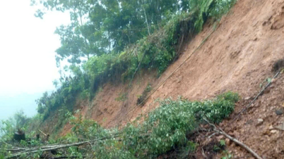
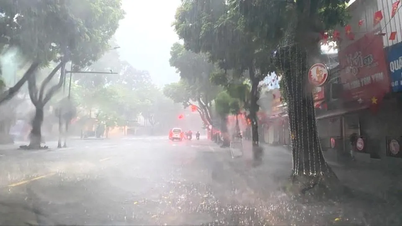
The National Center for Hydro-Meteorological Forecasting warns that thunderstorms and tornadoes may occur before low pressure or storms directly impact the mainland. Provinces from Thanh Hoa to Hue will have heavy to very heavy rain until August 31, with rainfall ranging from 200-350mm, with some places receiving over 600mm. The midlands, the Northern Delta and Da Nang will have moderate to heavy rain, ranging from 100-200mm, with some places receiving over 400mm.
Source: https://www.sggp.org.vn/yeu-cau-tau-thuyen-o-da-nang-quang-ngai-va-gia-lai-khan-cap-vao-noi-tru-tranh-post810869.html


![[Photo] President Luong Cuong receives Speaker of the New Zealand Parliament Gerry Brownlee](https://vphoto.vietnam.vn/thumb/1200x675/vietnam/resource/IMAGE/2025/8/29/7accfe1f5d85485da58b0a61d35dc10f)





















Comment (0)