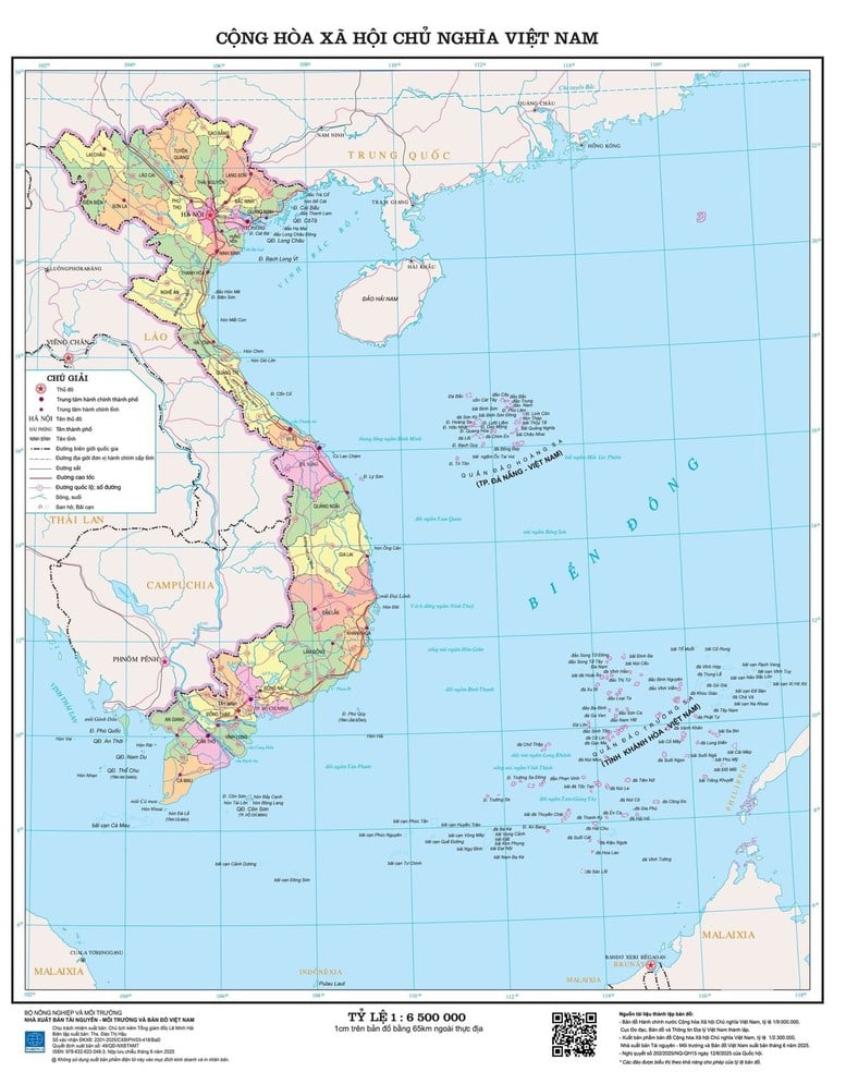
The Department of Surveying, Mapping and Geographic Information of Vietnam ( Ministry of Agriculture and Environment ) provides new administrative maps of 34 provinces and cities as original data for localities to edit and update accurate commune boundaries.
A representative of the Vietnam Department of Surveying, Mapping and Geographic Information said that the new administrative map fully reflects 34 provinces and centrally-run cities after the largest rearrangement ever. This is a basic, official and unified document, serving as a basis for localities to continue updating, adjusting and adding details of commune-level boundaries according to actual management.
structured, the map is built from standardized original data nationally, ensuring synchronization and consistency to serve state management agencies, organizations, and people for reference, study, research, and use in direction and administration. After providing the official administrative map, the Department coordinates and guides provinces and cities to correct and update commune boundary data in accordance with the actual situation.
The 1:9,000,000 scale administrative map of Vietnam is provided free of charge to ministries, sectors, localities and people online via the network environment. Ministries, sectors, localities, organizations and individuals can access the website https://vnsdi.mae.gov.vn/ of the Center for Geospatial Data Infrastructure to look up necessary information.
New administrative map publications have also been widely released to the public, with A0 (scale 1:2,200,000), A1 (scale 1:3,500,000) prints and electronic versions.
People can view online, download for free via QR code and access the website sapnhap.bando.com.vn to look up detailed information of 34 provinces and cities and more than 3,300 commune-level administrative units after the merger.
From July 1, 2025, localities will continue to edit and update commune boundary data. Detailed commune-level maps and thematic atlases will be released within the next month.
According to a representative of the Vietnam Department of Surveying, Mapping and Geographic Information, the merger of provinces and cities will change the data base of many socio -economic fields. Documents for the merger phase are available, but data sets for production, business and detailed planning will require many large projects with the participation of many agencies, unions and enterprises.
TC
Source: https://baochinhphu.vn/tra-cuu-dia-gioi-sau-sap-nhap-qua-ban-do-dien-tu-102250708175104468.htm





















Comment (0)