
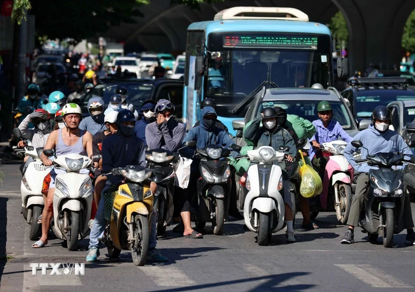
According to the National Center for Hydro-Meteorological Forecasting, today (July 9), the weather across the country continues to be complicated with prolonged heat in many areas of the North and Central regions, while thunderstorms appear in the evening and at night. Sea areas have thunderstorms, strong winds, rough seas, special attention should be paid to ensuring maritime safety.
Weather forecast for the regions
Hanoi capital
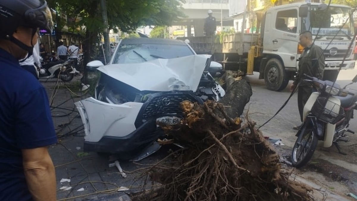
- Cloudy, hot during the day; scattered showers and thunderstorms in the evening and at night. Light wind. Thunderstorms may cause tornadoes, lightning and strong gusts of wind.
- Lowest temperature from 26-28 degrees Celsius, highest from 35-37 degrees Celsius.
Northwest Region
- Cloudy, sunny during the day, hot in some places; moderate rain, heavy rain and thunderstorms in the evening and at night, locally very heavy rain in some places. Light wind. During thunderstorms there is a possibility of tornadoes, lightning, hail and strong gusts of wind.
- The lowest temperature is from 24-27 degrees Celsius, some places below 25 degrees Celsius; the highest is from 34-37 degrees Celsius, especially in Lai Chau, Dien Bien and the North of Son La from 30-33 degrees Celsius.
Northeast
- Cloudy, hot during the day; scattered showers and thunderstorms in the evening and at night, especially in mountainous and midland areas with moderate rain, heavy rain and thunderstorms, locally very heavy rain. Light wind. During thunderstorms there is a possibility of tornadoes, lightning, hail and strong gusts of wind.
- Lowest temperature from 25-28 degrees Celsius, in mountainous areas some places below 25 degrees Celsius; highest from 34-37 degrees Celsius, some places above 37 degrees Celsius.
From Thanh Hoa to Hue
- Cloudy, hot during the day; showers and thunderstorms in some places in the evening and at night. Southwest wind level 2-3. During thunderstorms, there is a possibility of tornadoes, lightning and strong gusts of wind.
- Lowest temperature from 26-29 degrees Celsius, highest from 34-37 degrees Celsius, some places above 37 degrees Celsius.
South Central Coast
- Cloudy, hot during the day; showers and thunderstorms in some places in the evening and at night. Southwest wind level 2-3. During thunderstorms, there is a possibility of tornadoes, lightning and strong gusts of wind.
- Lowest temperature from 26-29 degrees Celsius, highest from 34-37 degrees Celsius, some places above 37 degrees Celsius.
Central Highlands region
- Cloudy, scattered showers and thunderstorms in some places; scattered showers and thunderstorms in the afternoon and evening, locally heavy rain in some places. Southwest wind level 2-3. Thunderstorms are likely to cause tornadoes, lightning and strong gusts of wind.
- Lowest temperature from 20-23 degrees Celsius, highest from 27-30 degrees Celsius, some places above 30 degrees Celsius.
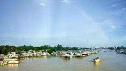
Southern Vietnam
- Cloudy, scattered showers and thunderstorms in some places; scattered showers and thunderstorms in the afternoon and evening, locally heavy rain in some places. Southwest wind level 2-3. Thunderstorms are likely to cause tornadoes, lightning and strong gusts of wind.
- Lowest temperature from 23-26 degrees Celsius, highest from 30-33 degrees Celsius, some places above 33 degrees Celsius.
Ho Chi Minh City
- Cloudy, scattered showers and thunderstorms in some places; scattered showers and thunderstorms in the afternoon and evening, locally heavy rain in some places. Southwest wind level 2-3. Thunderstorms are likely to cause tornadoes, lightning and strong gusts of wind.
- Lowest temperature from 24-26 degrees Celsius, highest from 31-33 degrees Celsius.
Currently, in the East of the central East Sea, there are showers and thunderstorms; in the Phu Quy special economic zone, there are strong southwest winds of level 5, sometimes level 6.
It is forecasted that during the day and night of July 9, the following areas will continue to have scattered showers and thunderstorms: Eastern sea area of the North and Central East Sea; Southern East Sea area (including Truong Sa special zone); Sea area from Lam Dong to Ca Mau, from Ca Mau to An Giang; Gulf of Thailand. During thunderstorms, there is a possibility of tornadoes and strong gusts of wind.
In addition, the sea area from Khanh Hoa to Ho Chi Minh City and the central East Sea has strong southwest winds of level 5, sometimes level 6, gusting to level 7-8. Waves are 2.0-3.5m high, rough seas.
Warning: All vessels operating in the above areas should pay special attention to the risk of being affected by tornadoes, strong gusts of wind and large waves, which can cause unsafe maritime operations.
Source: VNA
Source: https://baophutho.vn/thoi-tiet-ngay-9-7-nang-nong-keo-dai-o-mien-bac-va-mien-trung-235788.htm


Comment (0)