

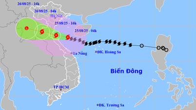
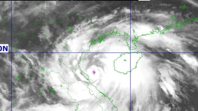
According to the National Center for Hydro-Meteorological Forecasting, at 7:00 a.m., the center of the storm was located at about 17.2 degrees North latitude; 116.6 degrees East longitude, about 480km East Northeast of Hoang Sa archipelago.
The strongest wind near the storm center is level 8 (62-74km/h), gusting to level 10; moving in the West Northwest direction at a speed of about 25km/h, the maximum intensity can reach level 12, gusting to level 15.
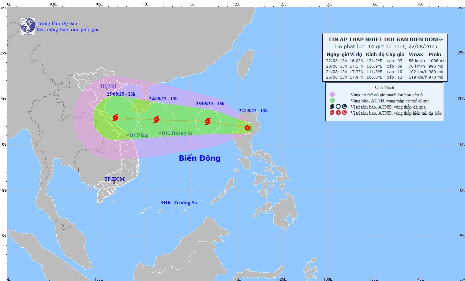
At sea, the North East Sea area (including Hoang Sa archipelago) has strong winds of level 8-9, the area near the storm's eye has winds of level 10-11, gusts of level 14, waves 4.0-6.0m high, and rough seas.
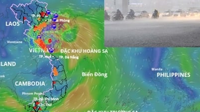
From the afternoon of August 24, the sea area from Thanh Hoa to Thua Thien Hue (including Con Co and Hon Ngu islands) will have winds gradually increasing to level 6-8, then increasing to level 9-10, near the storm's center level 11-12, gusting to level 15; waves 4.0-6.0m high, near the center 6.0-8.0m, rough seas.
From the night of August 24, the northern area of Bac Bo Gulf (including Bach Long Vi Island) will have winds gradually increasing to level 6-7, gusting to level 9, waves 2.0-3.0m high, rough seas. Ships operating in these sea areas are likely to be affected by storms, whirlwinds, strong winds and large waves.
Coastal areas from Thanh Hoa to Quang Tri will experience storm surges, with water levels ranging from 0.5 to 1.0 meters high. Water levels in Sam Son (Thanh Hoa) are forecast to reach 3.2 to 3.6 meters; in Hon Ngu (Nghe An) 3.3 to 3.7 meters; in Vung Ang ( Ha Tinh ) 3.1 to 3.4 meters; and in Cua Gianh (Quang Tri) 1.7 to 2.0 meters. There is a high risk of flooding in coastal areas and river mouths at noon and in the afternoon of August 25.
On land, from the night of August 24, the area from Thanh Hoa to Quang Tri will have winds gradually increasing to level 7-9, near the storm center level 10-12, gusting to level 14.
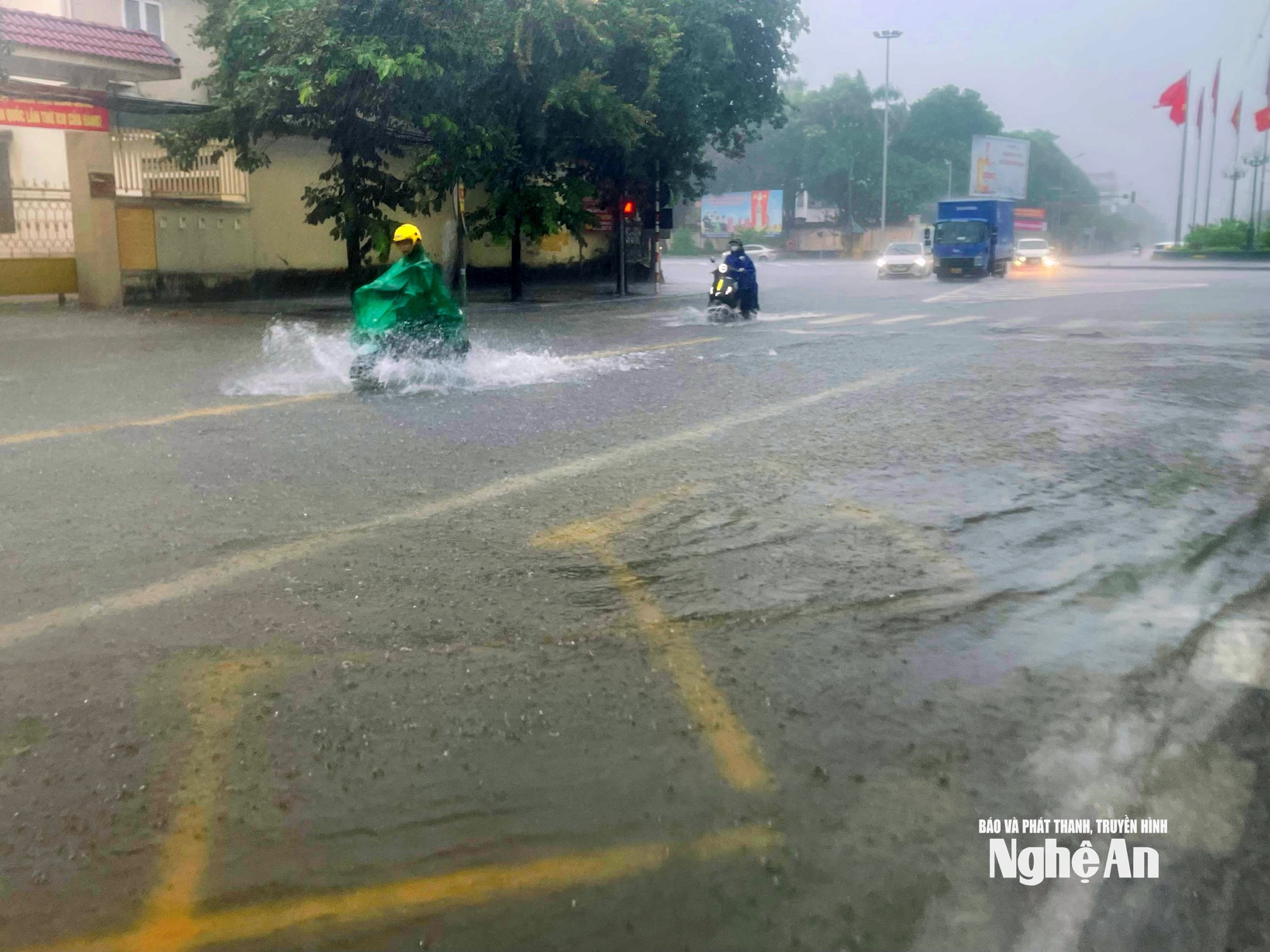
During the period from the night of August 24 to the end of August 26, the Northern Delta region and from Thanh Hoa to Thua Thien Hue are likely to experience widespread heavy rain with rainfall ranging from 100-150mm, in some places over 250mm.
Particularly in the area from Thanh Hoa to Quang Tri, there will be heavy to very heavy rain, with common rainfall of 150-300mm, locally over 600mm.
In particular, there is a risk of heavy rain over 200mm/3 hours, posing many risks of flash floods, landslides and widespread flooding.
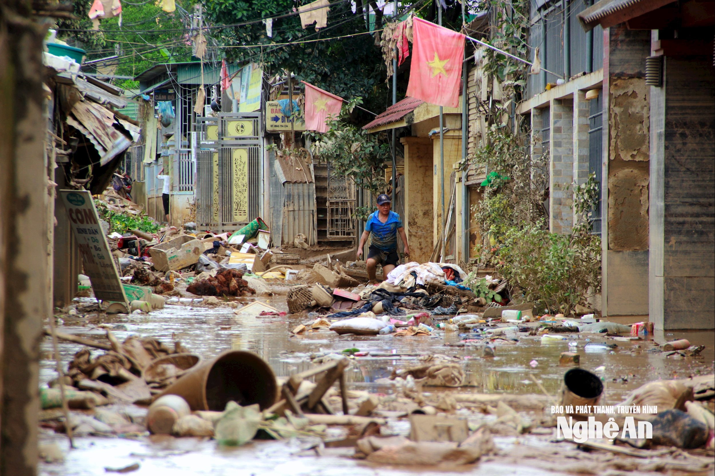
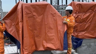
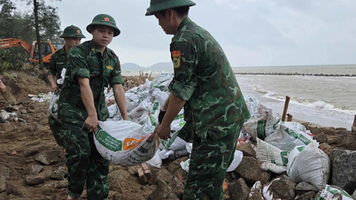
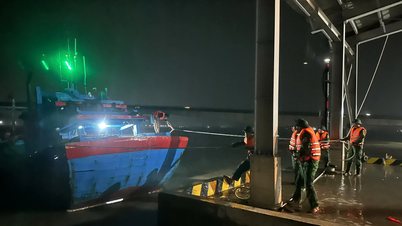
Experts warn that the weather at sea as well as in coastal areas during the storm is extremely dangerous and unsafe for all vehicles and structures operating in the area such as cruise ships, passenger ships, transport ships, aquaculture cages, dykes, and coastal roads. These vehicles and structures are at high risk of capsizing, damage, destruction, or flooding due to strong winds, large waves, and rising sea levels.
Source: https://baonghean.vn/bao-so-5-se-gay-gio-manh-dan-len-cap-7-9-vung-gan-tam-bao-cap-10-12-giat-cap-14-10305009.html


Comment (0)