

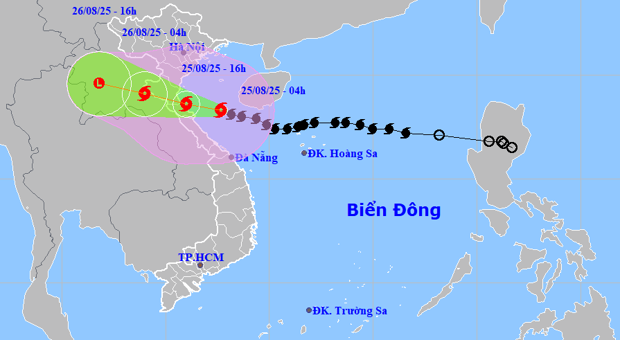
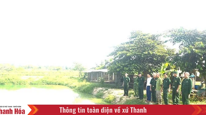
It is forecasted that in the next 3 hours, storm No. 5 will move west-northwest at a speed of about 15-20km/hour.
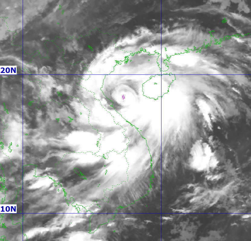
At 4:00 p.m. on August 25, the center of the storm was at about 18.6 degrees north latitude, 106 degrees east longitude, on the sea along the coast of Thanh Hoa - Northern Quang Tri with the strongest wind level 14, gust 17.
Storm No. 5 continues to move rapidly in the west-northwest direction at a speed of about 20km/hour and move deep inland.
At 4:00 a.m. on August 26, the center of the storm was at about 19.1 degrees north latitude, 104 degrees east longitude, in Central Laos with the strongest wind force of level 8, gusting to 11.
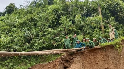
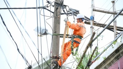
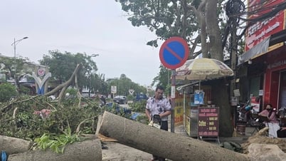
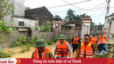
Due to the storm's influence, on land from Thanh Hoa to northern Quang Tri, there are strong winds of level 8-11, gusting to level 12-14; especially in the area from southern Thanh Hoa to Ha Tinh , there are strong winds of level 12-14, gusting to level 15-16.
Coastal areas from Quang Ninh to Ninh Binh have strong winds of level 6-8, gusting to level 9-10.
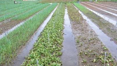
The area from Thanh Hoa to Hue has very heavy rain with rainfall of 100-150mm, locally more than 250mm; the area from Thanh Hoa to northern Quang Tri has rainfall of 200-400mm, locally more than 700mm (some places have rainfall intensity greater than 200mm in 3 hours).
The sea area from Thanh Hoa to Quang Tri (including Hon Ngu and Con Co islands) has strong winds of level 7-9, then increasing to level 10-11, near the storm center, strong winds of level 12-14, gusts of 17; waves 5-7m high, near the storm center, waves 8-10m high.
Northern Bac Bo Gulf has strong winds of level 6-7, gusting to level 9; southern Bac Bo Gulf (including Bach Long Vi Island) has strong winds of level 8-9, gusting to level 11, waves 3-5m high.
Level 4 disaster risk warning for coastal areas from Thanh Hoa to Quang Tri and mainland from Thanh Hoa to northern Quang Tri; level 3 for the northern East Sea, Gulf of Tonkin, and sea areas from Thanh Hoa to Quang Tri.
Source: https://baodanang.vn/bao-so-5-se-gay-gio-manh-cap-12-14-tren-dat-lien-tu-phia-nam-thanh-hoa-den-ha-tinh-3300242.html
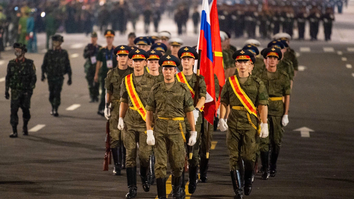
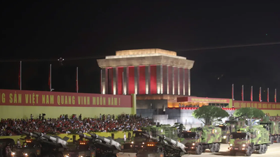
![[Photo] Parade blocks pass through Hang Khay-Trang Tien during the preliminary rehearsal](https://vphoto.vietnam.vn/thumb/1200x675/vietnam/resource/IMAGE/2025/8/27/456962fff72d40269327ac1d01426969)
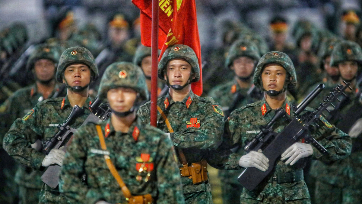
![[Photo] Images of the State-level preliminary rehearsal of the military parade at Ba Dinh Square](https://vphoto.vietnam.vn/thumb/1200x675/vietnam/resource/IMAGE/2025/8/27/807e4479c81f408ca16b916ba381b667)


Comment (0)