

 |
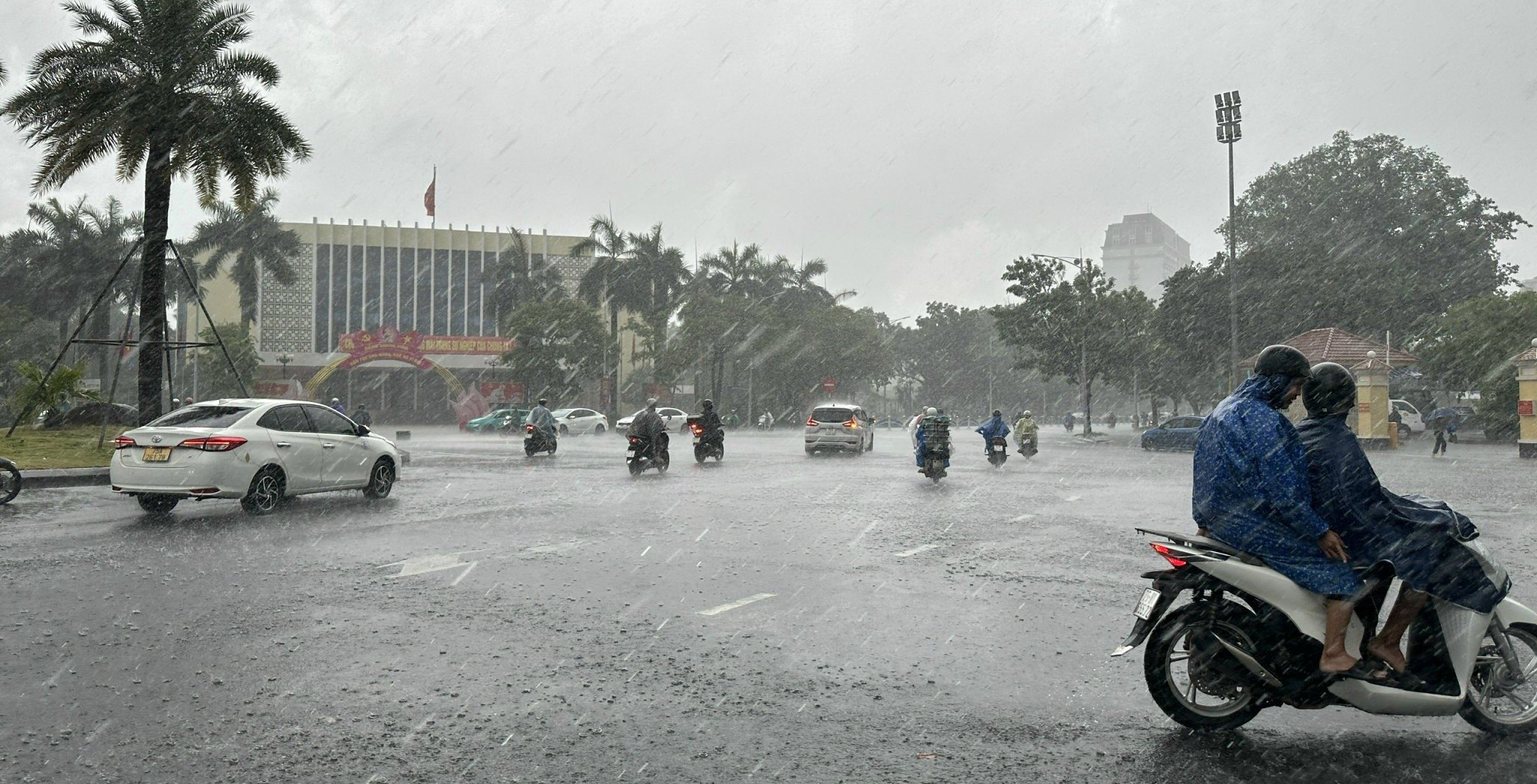
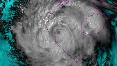
| The heaviest rain will be concentrated on August 25-26. |
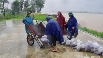
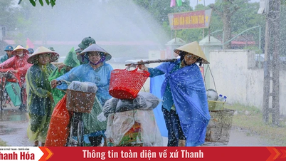
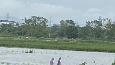
Accordingly, on land, due to the influence of storm No. 5, from August 24, there will be moderate rain, heavy rain, and in some places very heavy rain and thunderstorms. During thunderstorms, it is necessary to be on guard against tornadoes, lightning, hail and strong gusts of wind. The total rainfall for the entire period from August 24 to August 28 is commonly 150-300mm, with some places over 500mm.
The heaviest rain will be concentrated on August 25-26. Wind on land will be level 5, sometimes level 6, gusting to level 7-8; coastal areas will be level 6-7, gusting to level 8-10. Warning level of natural disaster risk due to heavy rain: level 1.
From the night of August 23, the sea area of Hue city will have storms. The wind will gradually increase to level 6-7, then increase to level 8-9, near the storm center it will be level 10-11, gusting to level 13, the sea will be very rough; waves will be 4-6m high.
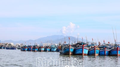
All ships operating in sea areas from 15 degrees North latitude and above are affected by storms, strong winds, and large waves, and are at risk of being destroyed or sunk, including large cargo ships.
From August 26, winds at sea will gradually decrease. Warning level of natural disaster risk due to strong winds on land; storms, strong winds, and high waves at sea: level 3.
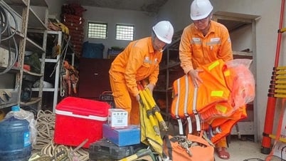
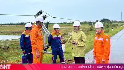
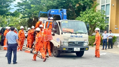
Hue City Hydrometeorological Station continuously updates information on storm developments so that units, localities and people in Hue City can proactively respond and minimize damage caused by storms.
Source: https://huengaynay.vn/kinh-te/nong-nghiep-nong-thon/tu-ngay-24-8-tren-dia-ban-tp-hue-co-mua-vua-mua-to-co-noi-mua-rat-to-157016.html
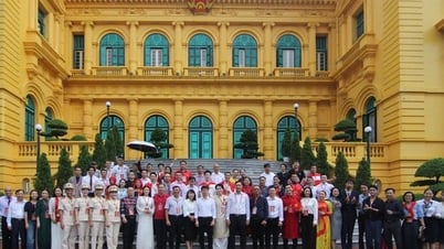
![[Photo] Multi-colored cultural space at the Exhibition "80 years of the journey of Independence - Freedom - Happiness"](https://vphoto.vietnam.vn/thumb/1200x675/vietnam/resource/IMAGE/2025/8/26/fe69de34803e4ac1bf88ce49813d95d8)
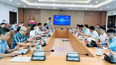
![[Photo] Prime Minister Pham Minh Chinh chairs meeting of National Steering Committee on International Integration](https://vphoto.vietnam.vn/thumb/1200x675/vietnam/resource/IMAGE/2025/8/26/9d34a506f9fb42ac90a48179fc89abb3)
![[Photo] Prime Minister Pham Minh Chinh receives CEO of Samsung Electronics](https://vphoto.vietnam.vn/thumb/1200x675/vietnam/resource/IMAGE/2025/8/26/373f5db99f704e6eb1321c787485c3c2)


Comment (0)