
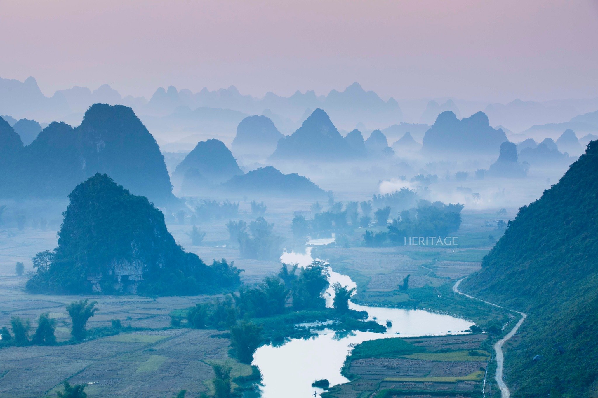
Phong Nam Valley ( Cao Bang ) is about 25 km from Ban Gioc Waterfall. The Quay Son River not only irrigates the rice fields on both banks, but also creates a unique beauty for the landscape. The river begins to flow into Vietnam from Ngoc Con Commune, Trung Khanh District and is nearly 50 km long.
Besides Phong Nam, adventurous travelers can conquer the passes in Cao Bang, a huge challenge for any backpacker. The top is Ma Phuc Pass, one of the four great passes in the North, 620m above sea level and 3.7km long with 7 winding levels along the limestone mountains, many sharp turns. There are also Cao Bac Pass, Khau Lieu, Khau Chia and Me Pia Pass (pictured). Me Pia Pass has 14 winding arcs along the mountainside.

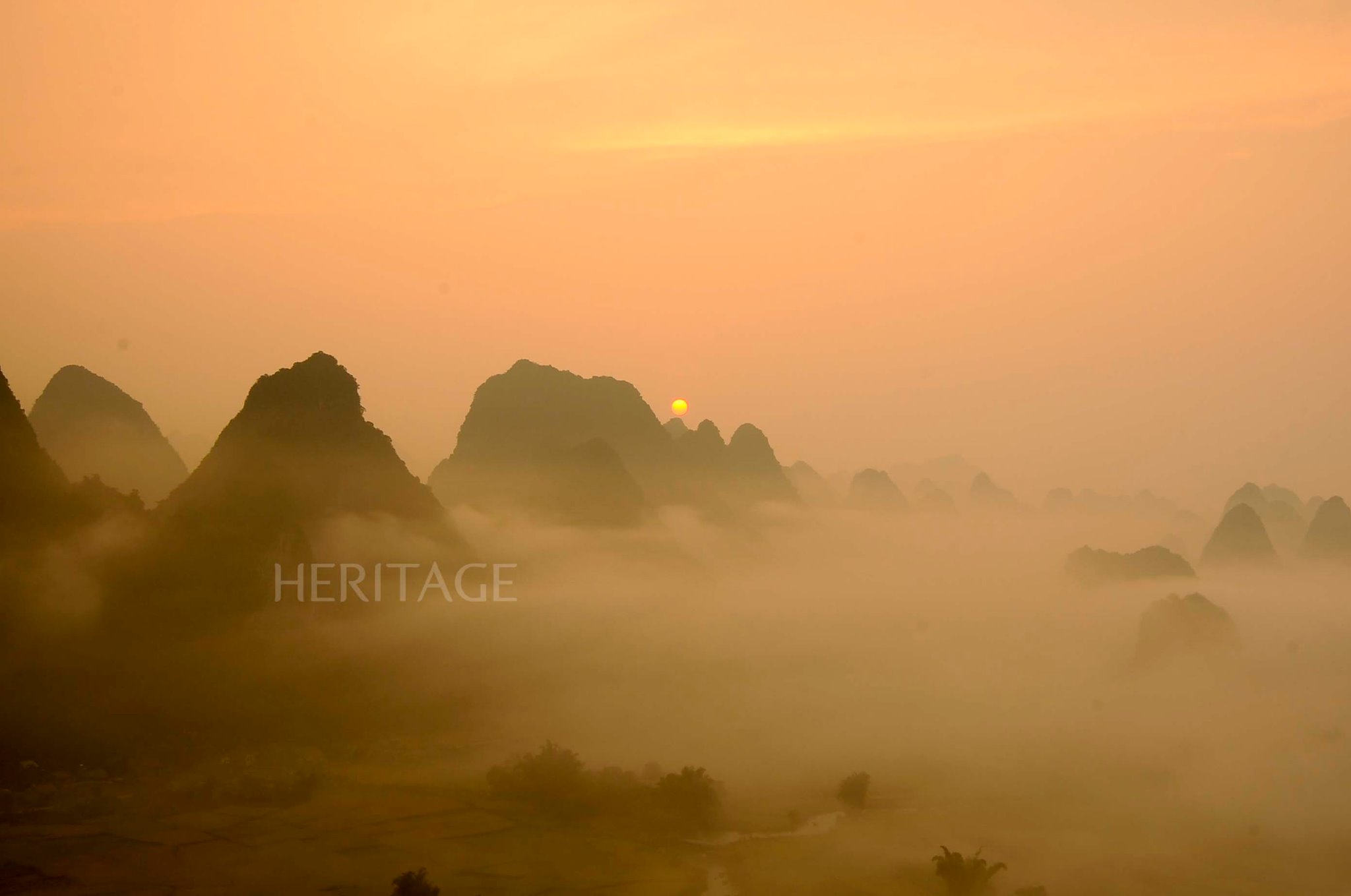
Phong Nam Valley seen from above with ripe rice fields and Quay Son River flowing between limestone mountains. The best time to take photos in Phong Nam is when the sun is just rising in the early morning and about to set in the afternoon, when the clouds floating halfway up the mountain pass by, creating a poetic, fairy-like scene.

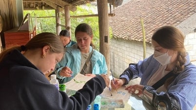
Tay houses are nestled under cliffs overlooking the river and rice fields. The people here mainly farm and still retain the typical cultural features of the Tay people. Visitors can also visit local houses to learn about local customs when coming to Phong Nam.
Heritage Magazine


Comment (0)