
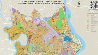
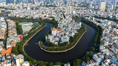
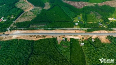
Zone 3 is defined in the general planning project of Tam Ky city to 2030, with a vision to 2050, approved by the Provincial People's Committee in Decision No. 3500/QD-UBND dated November 6, 2014. The boundary of the planning zone is limited from Ton Duc Thang Street to the southern boundary of Zone II. The planning area is about 524.89 hectares. This is a residential zone in the southern inner city area of the city with the orientation of building a low-density housing area associated with the improvement of the village space in Hoa Huong area; connecting the infrastructure framework between the East and West of Phan Chau Trinh route; forming a landscape space along Tam Ky river, creating a green corridor connecting with the riverside in zone 3 to Phu Ninh lake.
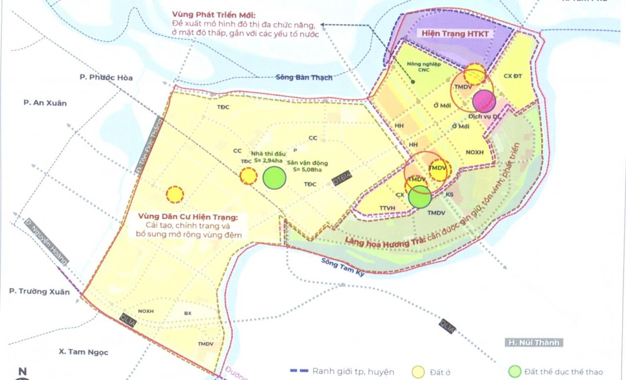
The zoning plan for Zone 3 also clarified basic indicators on population, land, social infrastructure and technical infrastructure; land use planning; solutions for spatial organization, architecture, urban design for each neighborhood; and planning for technical infrastructure systems. In addition, the plan also specified environmental protection solutions; priority investment items and resources for implementation.
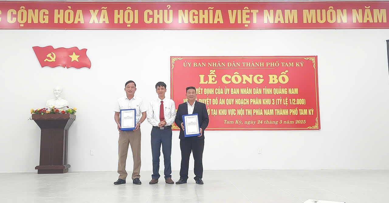
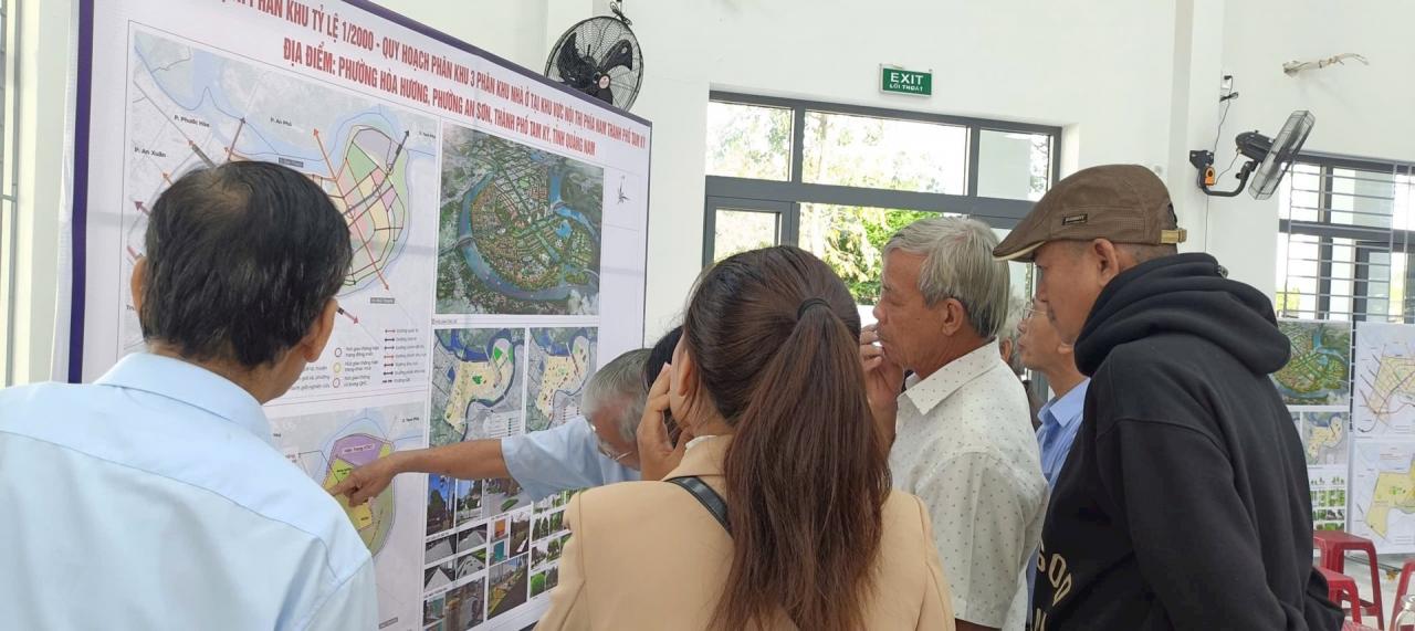
At the announcement conference, the Department of Economics , Infrastructure and Urban Areas of Tam Ky City handed over the subdivision 3 planning project to the People's Committees of Hoa Huong and An Son wards. After the handover, the locality will continue to post all the contents and management regulations according to the subdivision 3 planning project at the headquarters of the ward People's Committee and the cultural houses of the blocks located in the planning area...
Source: https://baoquangnam.vn/tam-ky-cong-bo-quy-hoach-phan-khu-nha-o-tai-khu-vuc-noi-thi-phia-nam-3151341.html


Comment (0)