
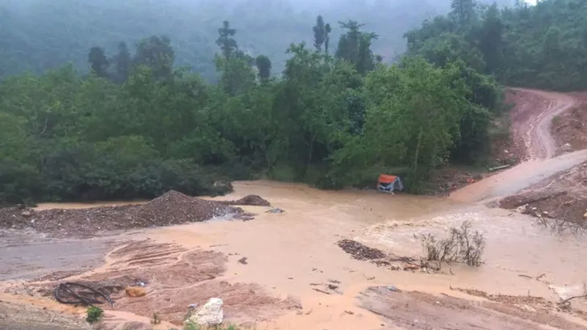
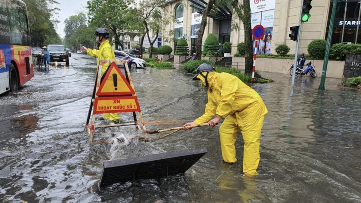
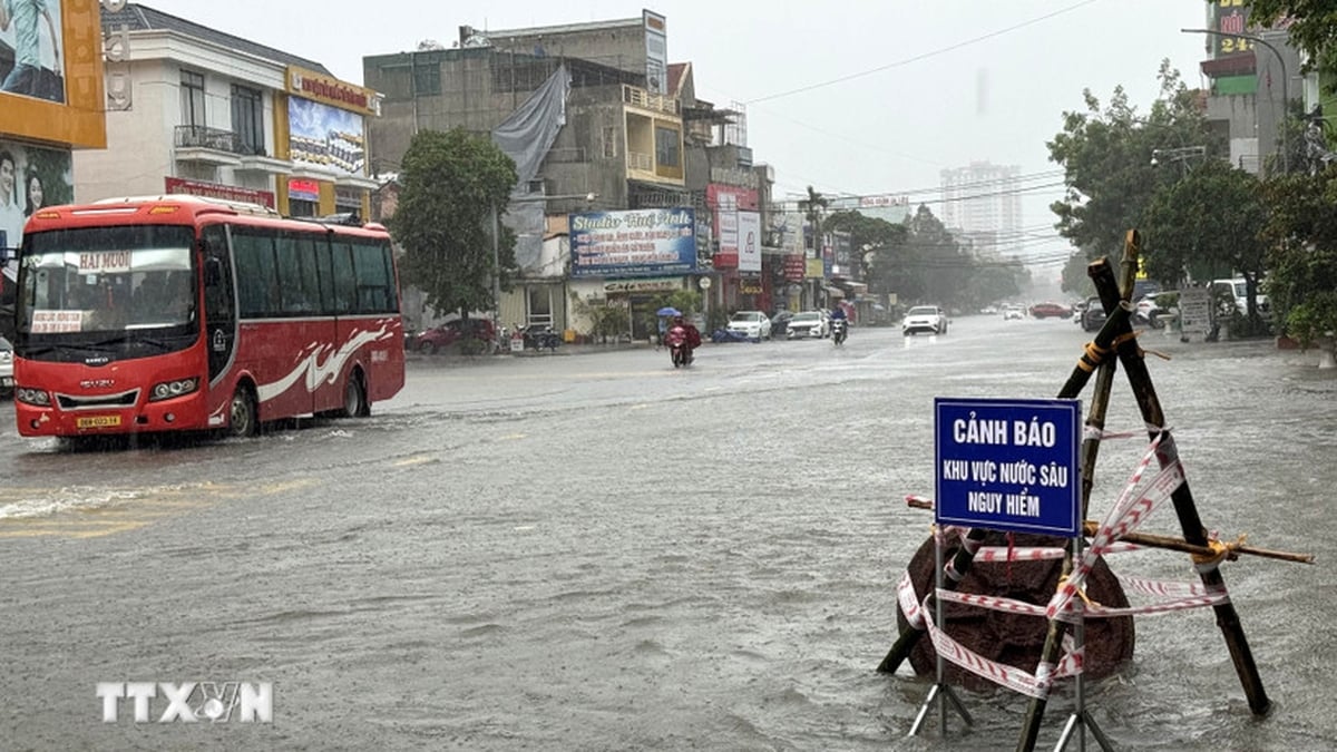
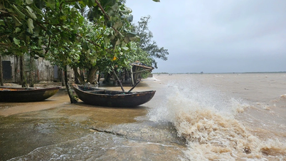
According to the National Center for Hydro-Meteorological Forecasting, storm No. 3 (international name Wipha) is evolving very complicatedly with strong intensity, wide range of influence and continuing to increase. At 7:00 p.m. on July 21, the center of the storm was about 90km from the coast of Quang Ninh , with strong winds of level 9-10, gusts of level 13. It is forecasted that in the next 24 hours, the storm will directly affect coastal areas from Quang Ninh to Thanh Hoa and spread deep into the mainland of the northern provinces. At sea, gusts of level 14, waves 4-6m high, rising water levels cause the risk of flooding at river mouths and coastal areas. On inter-regional roads, many localities have recorded gusts of level 6-8, gusts of level 10; widespread heavy rain of 200-350mm, with a high risk of flash floods, landslides in mountainous areas and deep flooding in low-lying areas.
Implementing the direction of the Prime Minister in Official Dispatch 117/CD-TTg dated July 20, 2025 on responding to storm No. 3, in order to ensure safe and stable power supply before, during and after the storm, the Minister of Industry and Trade requests agencies and units to synchronously and effectively deploy the following contents:
See details here
Source: https://moit.gov.vn/tin-tuc/thong-bao/bo-cong-thuong-ban-hanh-cong-dien-ve-viec-van-hanh-an-toan-he-thong-dien-bao-dam-cung-cap-dien-truoc-trong-va-sau-bao-so.html


![[Photo] National Assembly Chairman Tran Thanh Man visits Vietnamese Heroic Mother Ta Thi Tran](https://vphoto.vietnam.vn/thumb/1200x675/vietnam/resource/IMAGE/2025/7/20/765c0bd057dd44ad83ab89fe0255b783)


Comment (0)