


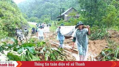
According to the National Center for Hydro-Meteorological Forecasting, at 7:00 p.m. on August 29, the center of the tropical depression was located at about 16.8 degrees North latitude; 111.5 degrees East longitude in the Hoang Sa special zone, about 560km East Southeast of the northern Quang Tri area; about 430km East of Hue City.
The strongest wind near the center of the tropical depression is level 7 (50-61km/h), gusting to level 9. Moving northwest at a speed of 15-20km/h.
At sea, the Northwestern part of the East Sea has strong winds of level 6-7, near the storm center level 8, gusts of level 10, waves 2-5m high, rough seas. From tonight, the sea from Thanh Hoa to Da Nang will have stronger winds of level 6-7, near the storm center level 8, gusts of level 10, waves 3-5m high, rough seas.
On land, the North will have scattered showers and thunderstorms tonight and tomorrow, locally heavy to very heavy rain. From tomorrow afternoon, the midlands and deltas of the North will have moderate to heavy rain, some places will have very heavy rain, with common rainfall of 70-150mm, some places over 250mm.
The Central region from Thanh Hoa to Da Nang has heavy to very heavy rain and thunderstorms. Da Nang in particular has moderate to heavy rain, with some places experiencing very heavy rain. Rainfall is 100-200mm, with some places experiencing over 350mm.
The Central Highlands and the South, due to the strong southwest monsoon, continue to have moderate rain, heavy rain, locally very heavy rain and strong thunderstorms, concentrated in the evening. During thunderstorms, beware of tornadoes, lightning, and gusts of wind.
LP
Source: https://baothanhhoa.vn/tu-dem-nay-vung-bien-thanh-hoa-gio-manh-cap-8-giat-cap-10-260059.htm
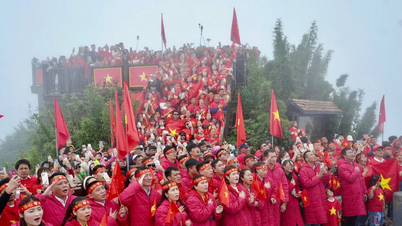
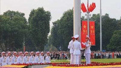
![[Photo] People eagerly wait all night for the parade on the morning of September 2](https://vphoto.vietnam.vn/thumb/1200x675/vietnam/resource/IMAGE/2025/9/1/0cf8423e8a4e454094f0bace35c9a392)
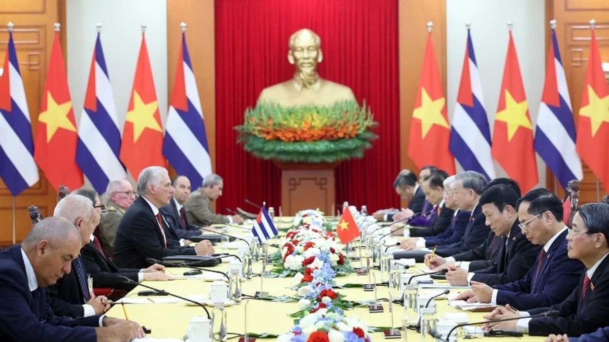
![[Photo] Celebration of the 65th Anniversary of the Establishment of Diplomatic Relations between Vietnam and Cuba](https://vphoto.vietnam.vn/thumb/1200x675/vietnam/resource/IMAGE/2025/9/1/0ed159f3f19344e497ab652956b15cca)
![[Photo] General Secretary receives heads of political party delegations from countries attending the 80th anniversary of our country's National Day](https://vphoto.vietnam.vn/thumb/1200x675/vietnam/resource/IMAGE/2025/9/1/ad0cb56026294afcae85480562c2e790)
![[Photo] National Assembly Chairman Tran Thanh Man receives Cambodian Senate President Hun Sen](https://vphoto.vietnam.vn/thumb/1200x675/vietnam/resource/IMAGE/2025/9/1/7a90c9b1c1484321bbb0fadceef6559b)
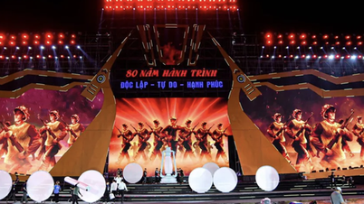
![[Photo] Solemn reception to celebrate the 80th anniversary of the National Day of the Socialist Republic of Vietnam](https://vphoto.vietnam.vn/thumb/1200x675/vietnam/resource/IMAGE/2025/9/1/e86d78396477453cbfab255db1e2bdb1)


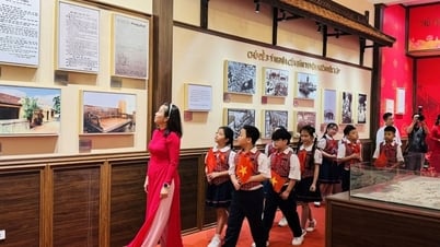
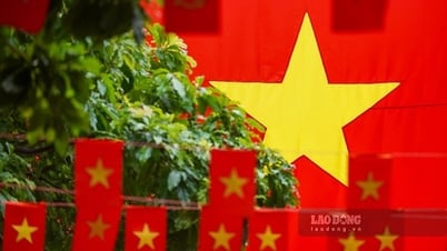
![[Photo] Ho Chi Minh City is filled with flags and flowers on the eve of National Day September 2](https://vphoto.vietnam.vn/thumb/1200x675/vietnam/resource/IMAGE/2025/9/1/f493a66401844d4c90919b65741ec639)


Comment (0)