

The Department of Meteorology and Hydrology ( Ministry of Agriculture and Environment ) has just released a report on seasonal climate forecasts nationwide, from September 2025 to February 2026.
Specifically, from September to November 2025, the probability of ENSO (the sea surface climate phenomenon in the central Pacific Ocean that governs global weather) being in a neutral state is about 60-70%. From December 2025 to February 2026, ENSO remains neutral and tends to lean towards the cold phase but has not yet reached La Nina levels.

Regarding storms and tropical depressions, the Vietnam Meteorological Agency forecasts that from now until November 2025, there will be about 6-7 storms active in the East Sea, of which 2-3 storms are likely to directly affect our mainland. From December 2025 to February 2026, storms and tropical depressions will operate at approximately the average level of many years, and coastal localities still need to be especially cautious.
Extreme weather events continue to develop in a complex manner, most concentrated from September to December 2025. In September 2025, there will be heavy rain in the North. From September to October 2025, the Central region will be the region most affected by floods.
By November and December 2025, heavy rains will be concentrated in Quang Tri to Quang Ngai, Khanh Hoa and the eastern provinces of the Central Highlands from Gia Lai to Lam Dong.


The heat wave in September 2025 tends to gradually decrease in the Thanh Hoa to Hue region and the South Central Coast, while the widespread heat wave in the North will end. Cold air will start to operate early from October 2025, gradually strengthening from November and causing severe cold at a level close to the average of many years.
Source: https://www.sggp.org.vn/con-6-den-7-con-bao-tren-bien-dong-ret-dam-tu-thang-11-post808714.html


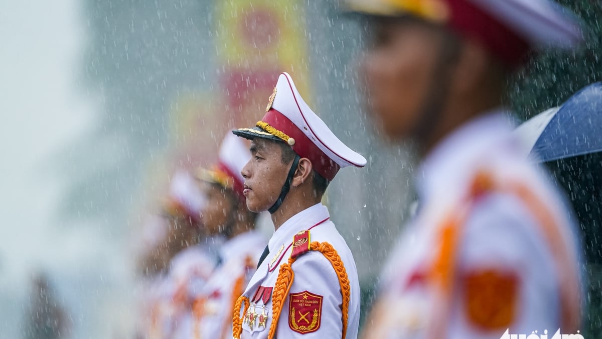
![[Photo] “Moving forward with Vietnam” on the most romantic road in Vietnam](https://vphoto.vietnam.vn/thumb/1200x675/vietnam/resource/IMAGE/2025/8/16/0ee500bc59fd4468863261ee26f47fe7)


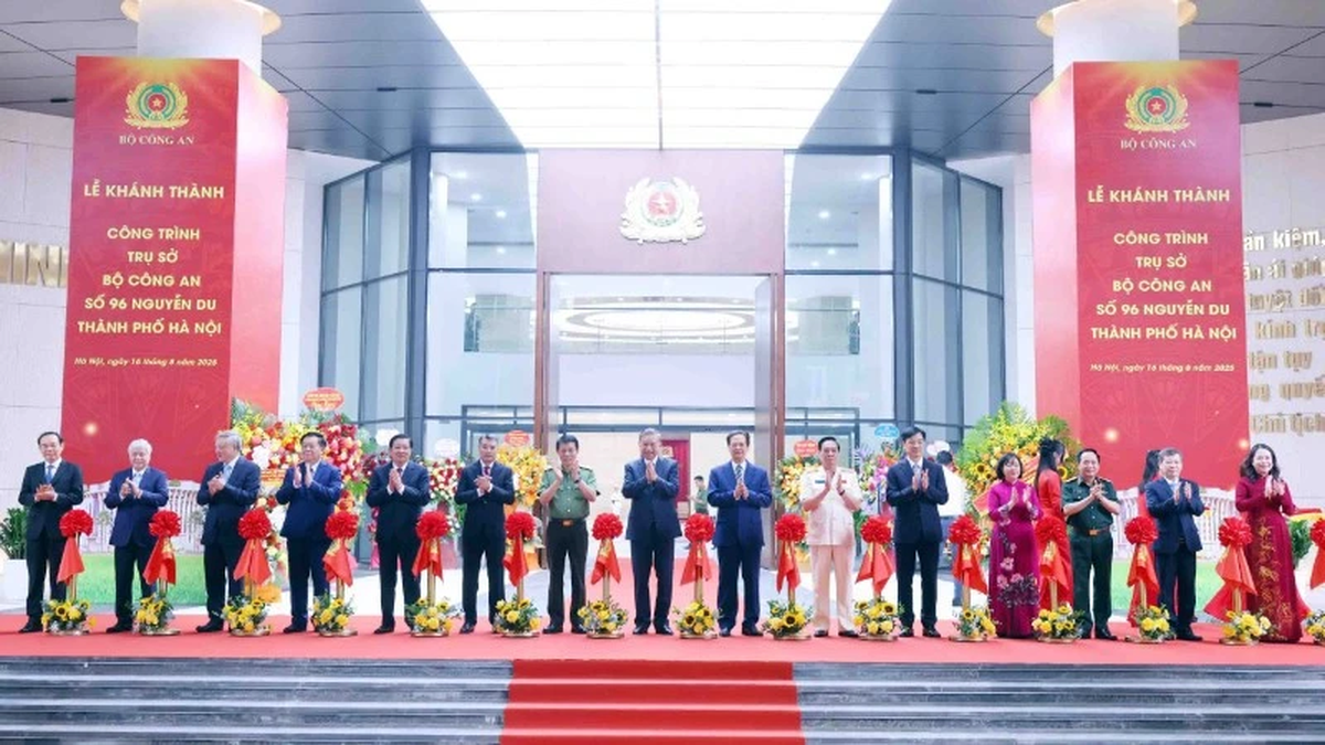
![[Photo] General Secretary attends the inauguration ceremony of the Ministry of Public Security Headquarters](https://vphoto.vietnam.vn/thumb/1200x675/vietnam/resource/IMAGE/2025/8/16/3ceec3a24ef945c18ae2b523563b749d)
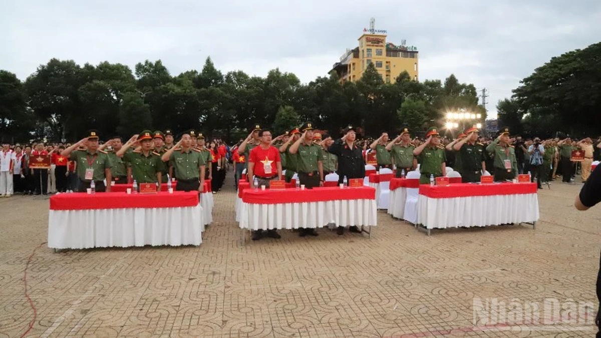
![[Photo] National Assembly Chairman Tran Thanh Man attends the program "Returning to the source - Towards the future"](https://vphoto.vietnam.vn/thumb/1200x675/vietnam/resource/IMAGE/2025/8/16/d081d9c162ee4ed9919e723aa322a53a)


Comment (0)