
According to the National Center for Hydro-Meteorological Forecasting, on the morning of July 21, storm No. 3 (storm Wipha) passed the northern area of Leizhou Peninsula (China), entering the northern part of the Gulf of Tonkin.
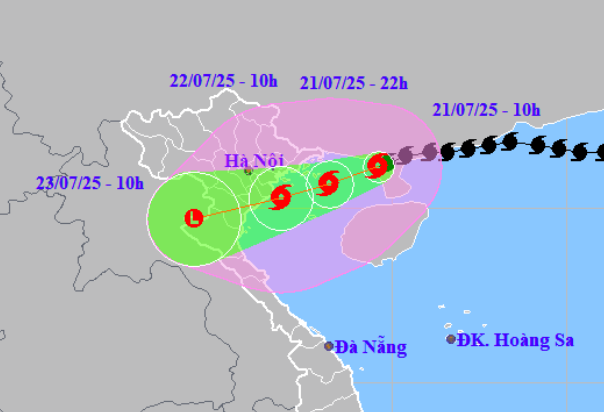
Storm No. 3 (Wipha) has entered the Gulf of Tonkin, forecast to strengthen to level 10 - level 11
PHOTO: PH
At 10:00 a.m. this morning, the center of storm No. 3 (Wipha) was at about 21.2 degrees north latitude and 109.6 degrees east longitude, about 190 km from Quang Ninh and 310 km from Hai Phong .
Near the storm center, the strongest wind is at level 9, equivalent to wind speed from 75 - 88 km/h, gusting to level 11. The storm is moving west-southwest at a speed of 10 - 15 km/h.
Sharing with Thanh Nien , Mr. Nguyen Van Huong, Director of the National Center for Hydro-Meteorological Forecasting, said that after entering the northern part of the Leizhou peninsula, storm No. 3 had friction with the ground, so its intensity weakened to level 9.
When storm No. 3 (Wipha) enters the Gulf of Tonkin, there will be more humidity and high temperature sea water, so it is in the process of strengthening again, forecast to strengthen to level 10 - level 11.
According to Mr. Nguyen Van Huong, the forecasted area affected by storm number 3 (Wipha) is the coast from Quang Ninh to Nghe An .
In particular, the central area affected by storm winds is the area from south of Hai Phong (Do Son area), Hung Yen (old Thai Binh ), Ninh Binh (old Nam Dinh) and north of Thanh Hoa.
Forecast from the night of July 21, the mainland coastal area of Quang Ninh - Nghe An will have wind level 7 - level 9, near the storm center level 10 - level 11, gust level 14. The provinces: Hai Phong, Hung Yen (old Thai Binh), Ninh Binh (old Nam Dinh), Thanh Hoa will have wind level 6, gust level 7 - level 8.
Storm No. 3 (Wipha) approaches the North, high risk of flash floods
Warning of danger according to storm intensity
Also according to the National Center for Hydro-Meteorological Forecasting, storm winds of level 8, equivalent to wind speeds of 62 - 74 km/h, can gust over level 10.
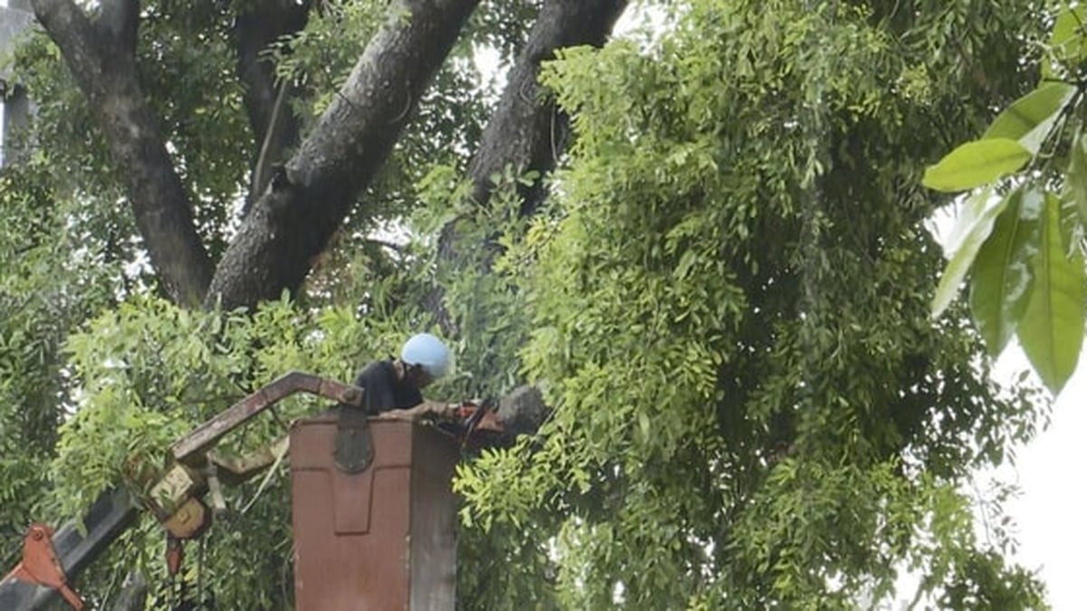
With this wind level, tree branches are easily broken, some large trees may be uprooted; pedestrians can hardly move.
A strong storm wind of level 9 is equivalent to a wind speed of 75 - 88 km/h, with gusts of wind above level 11. At this intensity, the wind is strong and large trees can fall; many weak structures can be damaged, weak houses can have their roofs blown off; road traffic is severely hindered, signs and outdoor structures can easily be damaged or collapsed. At sea, this wind level causes very rough seas, which is dangerous for ships and boats.
Strong storm winds of level 10 - level 11, equivalent to wind speeds of 89 - 102 km/h, gusts of wind can be over level 12. At this intensity, very strong storm winds can break large trees; many weak, unstable constructions can be seriously damaged.
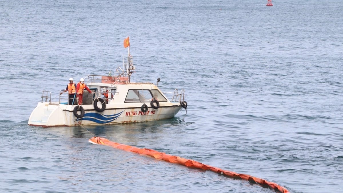
At sea, this wind level is very dangerous for ships, causing damage to docks and docks where ships take shelter from storms.
Storm No. 3, internationally named Typhoon Wipha, formed in the sea east of the Philippines on July 18 and is the 6th storm in the northwest Pacific region, and the 3rd storm in the East Sea this year.
Thanhnien.vn
Source: https://thanhnien.vn/bao-so-3-wipha-vao-vinh-bac-bo-se-anh-huong-quang-ninh-nghe-an-185250721120020797.htm


![[Photo] National Assembly Chairman Tran Thanh Man visits Vietnamese Heroic Mother Ta Thi Tran](https://vphoto.vietnam.vn/thumb/1200x675/vietnam/resource/IMAGE/2025/7/20/765c0bd057dd44ad83ab89fe0255b783)


Comment (0)