
According to the European Center for Medium-Range Weather Forecasts (ECMWF), there is a high possibility that a tropical depression or storm will enter the East Sea in the coming days. This is a complex weather development that requires special attention for timely prevention and response.

The Global Forecast System (GFS) of the US National Oceanic and Atmospheric Administration (NOAA) also shares the same warning model as the ECMWF.

According to meteorological experts, the low pressure area is currently strengthening into a tropical depression (approaching the eastern Philippines) and may develop into a storm. In the next 2 days, this storm is likely to enter the northern East Sea area.
The storm's course also depends on the strength of the continental high pressure in China. If the high pressure is strong, the storm may head towards the Gulf of Tonkin. If the high pressure is weak, the storm may deviate towards China.
Meteorological experts say that in addition to the low pressure area in the Philippines, a low vortex in the Truong Sa area is showing signs of combining with the low pressure in the Philippines, potentially drawing the tropical low pressure deeper into the East Sea.
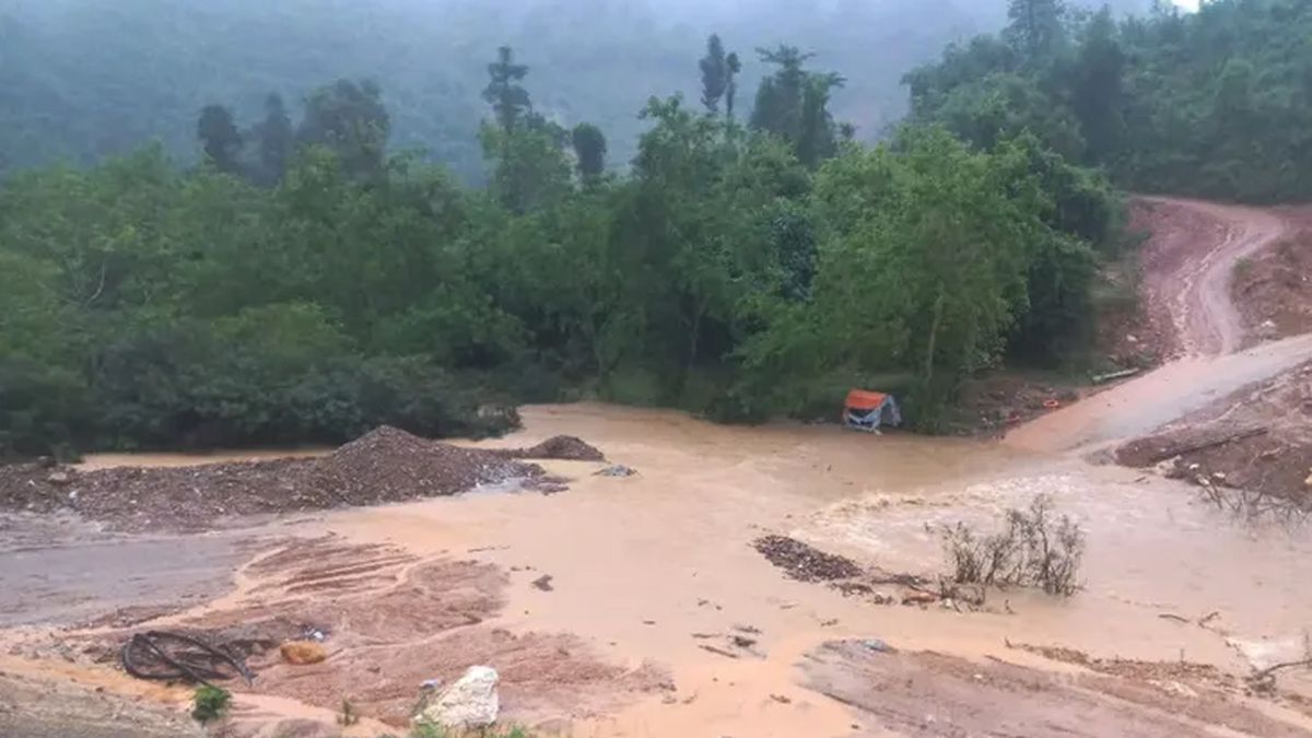
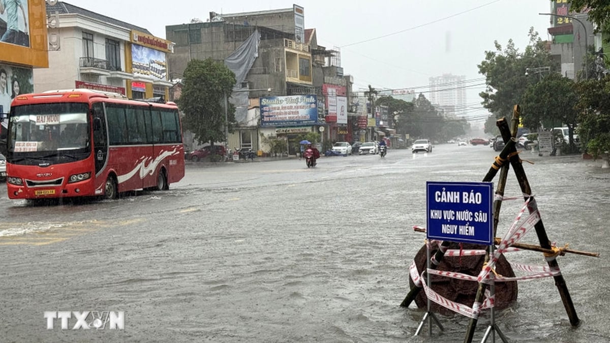
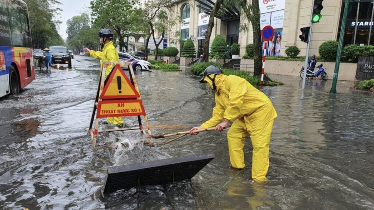
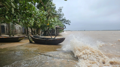
Due to the influence of complex weather patterns, the South, Central Highlands and the South China Sea are forecast to experience bad weather, with the possibility of strong winds and heavy rain. The area between the South China Sea near the Philippines and the North China Sea is also expected to experience bad weather.
Although the probability of storm No. 3 forming in the East Sea is only about 40%, meteorological experts warn people in the northern coastal provinces and high-risk areas to closely monitor information from meteorological agencies; prepare storm prevention plans to ensure safety for people and infrastructure.
VAN PHUC
Source: https://www.sggp.org.vn/bao-co-the-vao-bien-dong-post756763.html


![[Photo] National Assembly Chairman Tran Thanh Man visits Vietnamese Heroic Mother Ta Thi Tran](https://vphoto.vietnam.vn/thumb/1200x675/vietnam/resource/IMAGE/2025/7/20/765c0bd057dd44ad83ab89fe0255b783)


Comment (0)