
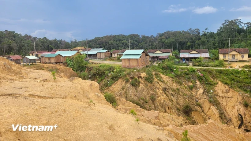
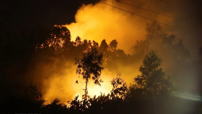
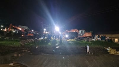
Of the total 40 earthquakes that occurred in June 2025, 33 occurred in Kon Plong (Quang Ngai province); the remaining 7 occurred in the Nam Tra My area ( Da Nang city).
According to information from the Institute of Earth Sciences (Vietnam Academy of Science and Technology), in June 2025, 40 earthquakes with magnitudes ranging from 2.5 to 3.8 occurred nationwide, mainly concentrated in the country's "earthquake hotspot" areas.
Updated data from the Earthquake Information and Tsunami Warning Center - Institute of Earth Sciences, shows that out of a total of 40 earthquakes that occurred last June, 33 occurred in Kon Plong, Kon Tum province (now Quang Ngai); 7 earthquakes occurred in Nam Tra My, Quang Nam province (now Da Nang city).
In particular, some days had many consecutive earthquakes such as: On June 2, there were 4 earthquakes with magnitudes from 2.8 to 3; on June 3, there were 4 earthquakes with magnitudes from 2.5 to 2.8; on June 4, there were 4 earthquakes with magnitudes from 2.5 to 3.3; on June 9, there were 3 earthquakes with magnitudes from 2.8 to 3.4; on June 20, there were 3 earthquakes with magnitudes from 3.1 to 3.3.
Previously, in May 2025, the whole country also experienced 31 earthquakes with magnitudes from 2.5 to 5, concentrated in the above localities.
Thus, compared to the previous month, the earthquake frequency in June 2025 increased slightly (increased by 9 events), however, the earthquake magnitude tended to decrease.
Explaining the cause of earthquakes at the above “hot spots”, Dr. Nguyen Xuan Anh - Director of the Earthquake and Tsunami Warning Center, Deputy Director of the Institute of Earth Sciences, said that the two localities above often have earthquakes mainly due to a combination of natural geological factors and earthquakes stimulated by human activities.
These localities lie on active or potentially active geological faults. However, the most important factor causing the recent high earthquake frequency is the operation of large hydroelectric reservoirs. Research shows that the huge volume of water in the reservoirs puts pressure on the faults, changing the stresses and triggering the earthquakes.
Dr. Nguyen Xuan Anh also noted that earthquakes in the above areas, although usually not too large in magnitude (under 5.5), occur continuously, causing tremors and somewhat affecting people's lives. It is predicted that stimulated seismic activity in these areas can last for many years.
Dr. Xuan Anh stated that in the coming time, there may be more earthquakes in Nam Tra My but they will gradually decrease over time and cannot exceed the maximum earthquake value of 5.5. In Kon Plong district, earthquakes will also continue in the coming time but are unlikely to be greater than 5.5.
However, Dr. Xuan Anh also noted that there needs to be detailed assessment and research, measuring local earthquake data for scientists to calculate and at the same time having a thicker network of monitoring stations to record information and data of earthquakes.
Given the above developments, Dr. Xuan Anh said that in order to meet the needs of sustainable socio-economic development in the new situation, the Institute of Earth Sciences proposed to promptly implement 3 key tasks.
First, it is necessary to modernize the network of earthquake monitoring stations. Implement a program to review and assess earthquake hazards nationwide, assess earthquake risks for densely populated urban areas, economic zones, and key projects in areas with high earthquake risks. The focus is on conducting studies to assess the impact of earthquakes from a distance.
The second solution, according to the Institute of Earth Sciences, is to step up propaganda and train people in survival skills when natural disasters occur.
Next is to review earthquake resistance work for houses and structures, especially in areas at high risk of being affected by earthquakes and tsunamis./.
Source: https://baolangson.vn/xay-ra-40-tran-dong-dat-trong-thang-sau-tap-trung-tai-2-diem-nong-nhat-ca-nuoc-5051848.html


![[Photo] National Assembly Chairman visits Vi Thuy Commune Public Administration Service Center](https://vphoto.vietnam.vn/thumb/1200x675/vietnam/resource/IMAGE/2025/7/1/d170a5e8cb374ebcae8bf6f7047372b9)


![[Photo] Standing member of the Secretariat Tran Cam Tu chaired a meeting with Party committees, offices, Party committees, agencies and Central organizations.](https://vphoto.vietnam.vn/thumb/1200x675/vietnam/resource/IMAGE/2025/7/1/b8922706fa384bbdadd4513b68879951)


Comment (0)