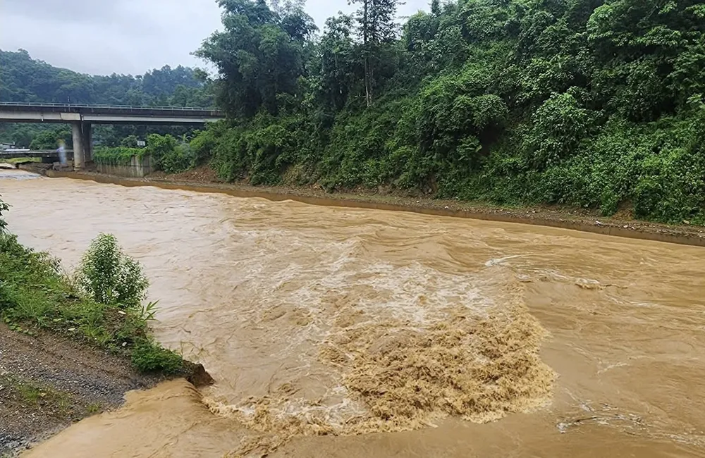
In Lao Cai province, the measuring point in Ngu Chi Son commune (Sa Pa ward) recorded rainfall of up to 112.2mm. Tuyen Quang and Thai Nguyen also had heavy rain, 78.4mm at Tien Nguyen 2 and 81.2mm at Boc Bo 2, respectively. Quang Ninh had 55.6mm of rain at Co To island, while Bac Ninh had 61.4mm of rain at Khuon Than.
Hai Phong had 77.4mm of rain in Vinh Bao. In Hanoi , Soc Son had 26.4mm of rain. On the afternoon of July 12, Hanoi continued to have widespread heavy rain.
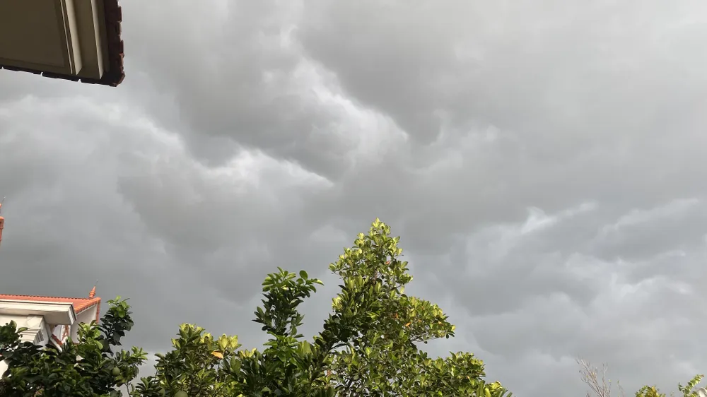
The North Central region also had many places with heavy rain, such as Nghe An with 71.8mm in Tan Ky, Ha Tinh with 72.2mm in Khe Co Lake, Thanh Hoa with 52.4mm in Cua Dat Reservoir. The Central Central provinces had scattered rain, mainly light and medium, with Quang Ngai alone having 51.6mm of rain in Ba Dien commune.
In the South, Ho Chi Minh City had 83mm of rain at Tam Bo Lake. Some other places in the South had moderate rain, such as Ca Mau 43.8mm at Ham Rong, An Giang 39.2mm at An Thoi. The Central Highlands and Southeast regions had steady rain, mostly light to moderate.
Many areas in the northern mountainous region continued to suffer from prolonged heavy rains, following two large-scale rains from July 9 to 12. The heavy rain area stretched from Lai Chau through Lao Cai to Tuyen Quang, with the focus being Lao Cai province.
In Lao Cai province, heavy rains occurred over a large area, causing floods in streams to rise. In Sa Pa ward, floodwaters flooded into the houses of some households in residential areas such as Cau May 3, Ham Rong 1 and Sa Pa 1. Three households in areas at risk of landslides were urgently evacuated.

In Ngu Chi Son commune, heavy rain caused severe flooding in Sa Chai village, causing some areas to be partially flooded. The floodwaters overflowed the sturgeon and salmon ponds of two households, causing a loss of about 500kg of commercial fish.
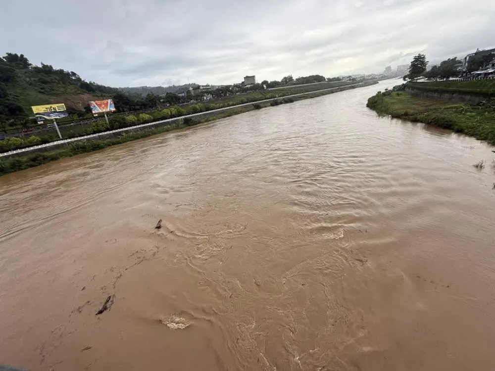
Meanwhile, in Coc San commune and Lao Cai ward, rising water from Ngoi Dum stream flooded a section of road at Km135 - National Highway 4D, paralyzing traffic for many hours. The flood water of the Red River in Lao Cai also rose.
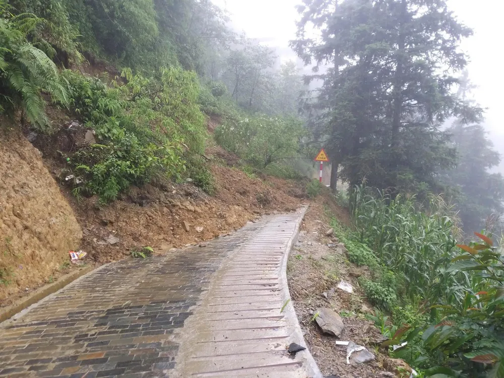
The Lao Cai Provincial Road Maintenance Management Board has coordinated with the Traffic Police - Lao Cai Provincial Police to ensure safe traffic on key routes, especially National Highway 4D and provincial roads 152, 154 and 156 which are at high risk of landslides and temporary blockages due to floods from streams overflowing onto the roads.
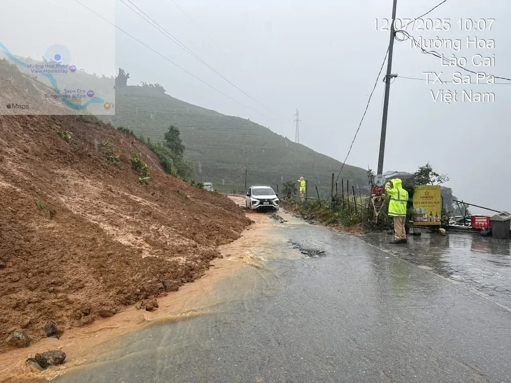
Also on July 12, heavy rains fell on Trinh Tuong commune (Lao Cai province), causing floods from upstream and soil and rocks to flow down to the central fields of the commune. Local authorities mobilized militia, police and youth union members to help people move their belongings and overcome the consequences.
Source: https://www.sggp.org.vn/nhieu-noi-tren-ca-nuoc-co-mua-lon-post803533.html












































Comment (0)