
Confirm the gateway position
As a coastal city, Hai Phong plays a strategic traffic hub role with the rare advantage of converging all 5 types of transport: road, rail, inland waterway, sea and air.
Meanwhile, Hai Duong is a locality located west of Hai Phong city, in the economic triangle of Hanoi - Hai Phong - Quang Ninh, oriented to become the logistics hub of the Red River Delta.
After the merger of Hai Duong and Hai Phong, the development space expanded, traffic between the two localities complemented each other and maximized their strengths, creating an important driving force for Hai Phong to become a center for inter-regional and international traffic connections.
Currently, the Hai Duong - Hai Phong intra-regional connection system includes roads, railways and inland waterways. Regarding roads, in addition to the two main routes of National Highway 5 and Hanoi - Hai Phong Expressway, there are also a series of other connecting infrastructures such as Dinh Bridge, Quang Thanh Bridge, National Highway 17B, National Highway 10, National Highway 37... Along with that, Hai Phong City also has Cat Bi International Airport, a railway system connecting two corridors, an economic belt between Vietnam - China...
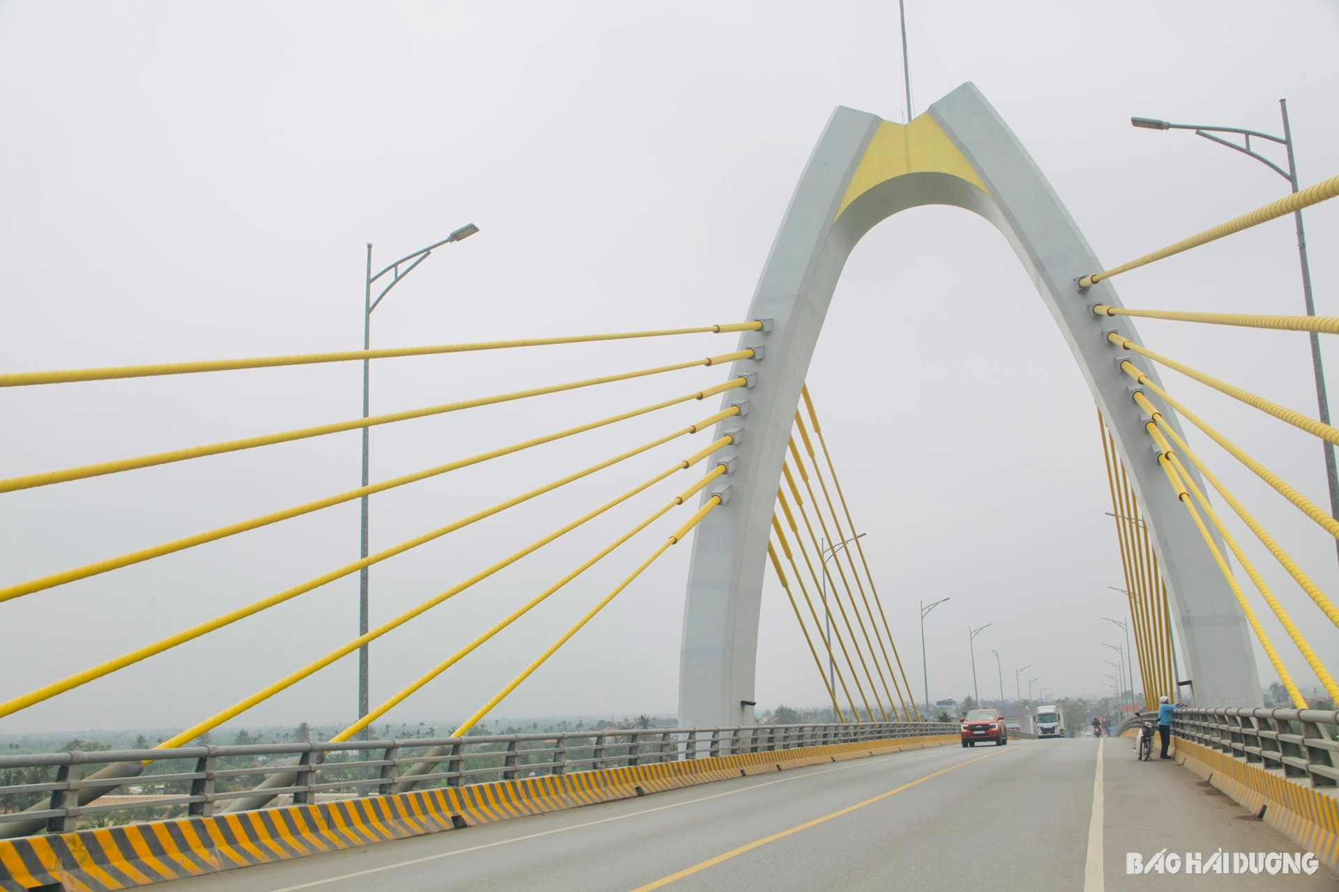
In recent years, Hai Phong and Hai Duong have coordinated to implement many inter-regional traffic connection projects such as renovating and upgrading National Highway 17B, National Highway 37 through Hai Phong City... Hai Duong renovates and upgrades Provincial Road 390 from Hop Thanh Bridge to Quang Thanh Bridge; builds a road connecting National Highway 17B with Dinh Bridge and builds a road connecting National Highway 17B (Hai Duong) with Provincial Road 352 (Hai Phong City), from National Highway 17B to Kinh Thay River dike (Kinh Mon)...
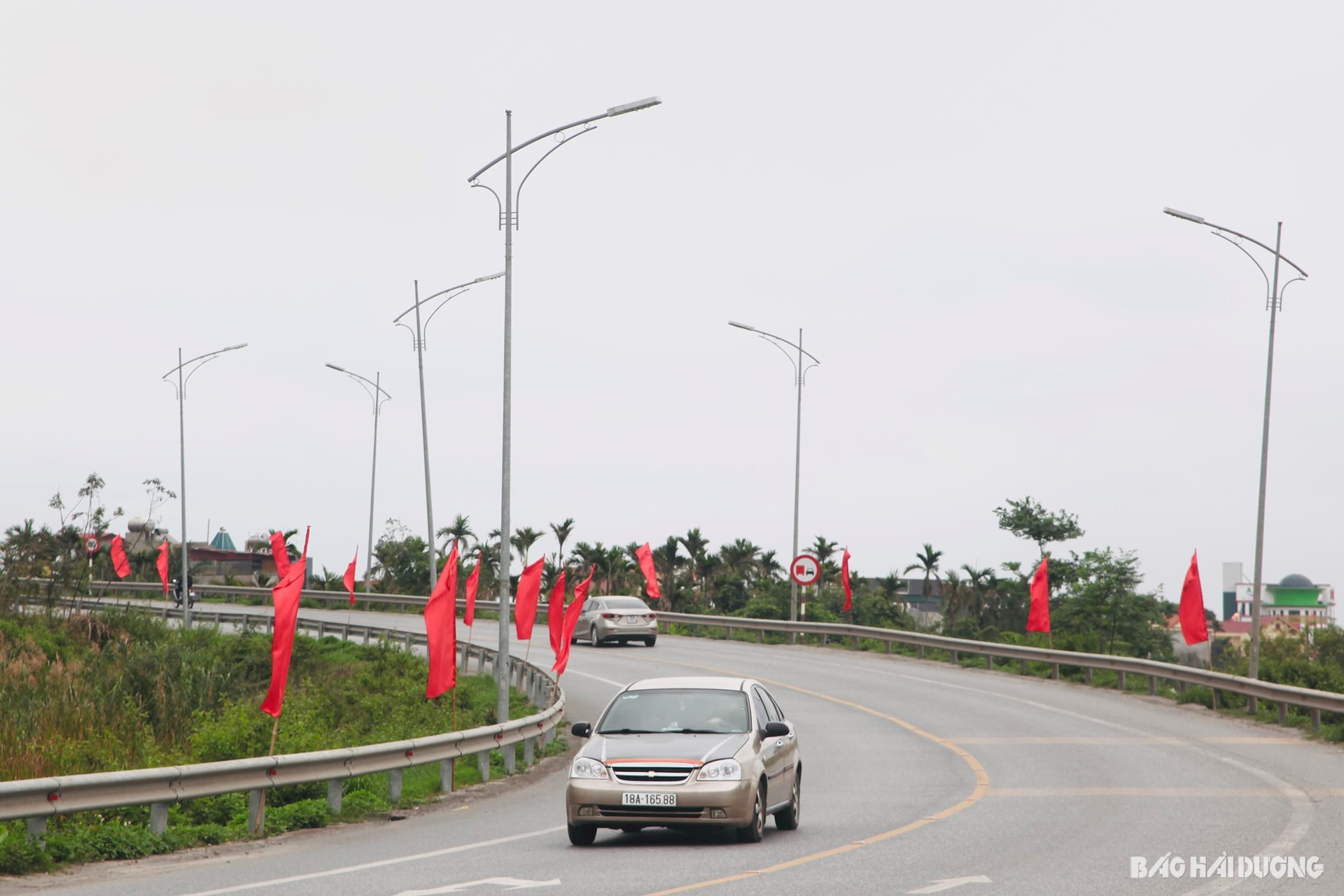
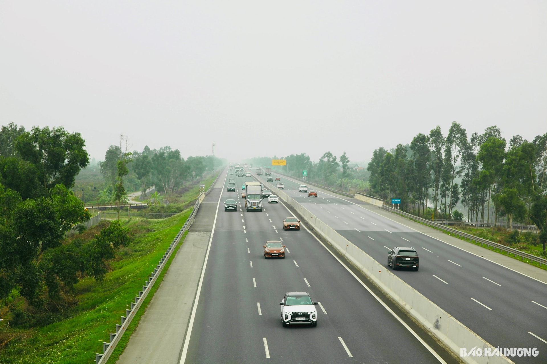
In reality, traffic between Hai Duong (old) and Hai Phong city center is mainly via National Highway 5. The route has a large traffic volume, about 5-6 times higher than the design, many intersections at the same level, an incomplete service road system, and potential traffic accident risks. The Hanoi - Hai Phong Expressway has good operating capacity but few access points at key intersections, high costs...
This reality requires early research and investment in new connecting routes connecting Hai Duong (old) - Hai Phong to reduce the load on National Highway 5, while opening up new development space, serving the goal of developing a modern, synchronous urban area after the two localities have officially merged. The requirement is to invest in upgrading and expanding existing connecting routes and researching strategic routes with a scale commensurate with the position and stature of the city after the merger.
Modern, synchronous
Currently, many large-scale, modern, and synchronous strategic transport infrastructure projects aiming at intra-regional and international connectivity are being proposed for implementation.
These are investment projects to build a national highway 5 service road in the new Hai Phong city; upgrade and expand the connecting road through Dinh bridge; upgrade and expand the two-way connecting road through Quang Thanh bridge; connect from provincial road 352, Hai Phong (old) to national highway 17B, Kinh Mon (old) across Han - Cam river (Kinh Thay river branch); renovate and expand the inter-provincial road from Thuy Nguyen - Kinh Mon (old) from Dinh bridge to provincial road 352; invest in the connecting axis road from beltway 1 (Bui Thi Xuan bridge approach road), in the old Hai Duong city to the intersection between national highway 10 and Nguyen Truong To street, An Duong district, Hai Phong city (old); traffic connection plan from Gia Binh airport (Bac Ninh province) to Lach Huyen port...
Investing in connecting traffic projects not only has technical infrastructure significance, but also symbolizes the strategic vision in socio-economic development. Notably, the proposal to build a connecting axis from Ring Road 1, in the old Hai Duong area, to the intersection between National Highway 10 and Nguyen Truong To Street (old Hai Phong City). This route has a total length of about 23.4 km, from 8 to 10 lanes. This is expected to be a high-speed traffic axis, with strategic significance in intra-regional connectivity after the merger.
The connection plan from Gia Binh airport to Lach Huyen port is also being studied. In particular, the largest plan proposes to build a road with a width of 50.5 m - 68 m, a scale of 6 - 8 lanes, and a total length of 82.8 - 85.6 km. When completed, this corridor will not only play a key role in the logistics network of the Red River Delta, but also be a strategic lever to help the new Hai Phong connect trade and develop the socio-economy of the two old lands.
Transportation is considered the “blood vessel” of the economy. With high determination, strategic and sustainable orientation, investment in a synchronous and modern transport infrastructure system will help the new Hai Phong City develop more strongly, affirming its position as a gateway for maritime and aviation, making an important contribution to the national economic development.
HA NGASource: https://baohaiphongplus.vn/dau-tu-he-thong-giao-thong-xung-tam-voi-tp-hai-phong-sau-hop-nhat-415350.html
![[Photo] National Assembly Chairman visits Vi Thuy Commune Public Administration Service Center](https://vphoto.vietnam.vn/thumb/1200x675/vietnam/resource/IMAGE/2025/7/1/d170a5e8cb374ebcae8bf6f7047372b9)


![[Photo] Standing member of the Secretariat Tran Cam Tu chaired a meeting with Party committees, offices, Party committees, agencies and Central organizations.](https://vphoto.vietnam.vn/thumb/1200x675/vietnam/resource/IMAGE/2025/7/1/b8922706fa384bbdadd4513b68879951)


Comment (0)