

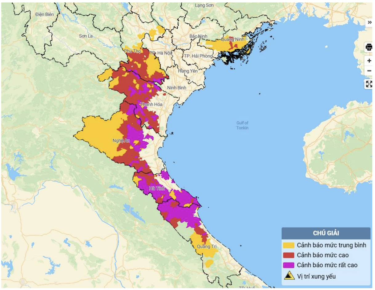
Map of flash flood and landslide risks in the areas. (Details at the link: http://luquetsatlo.nchmf.gov.vn)
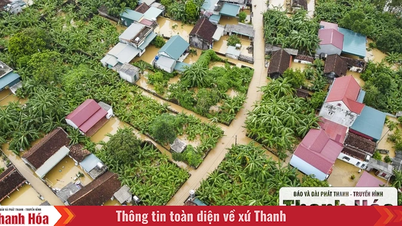
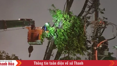
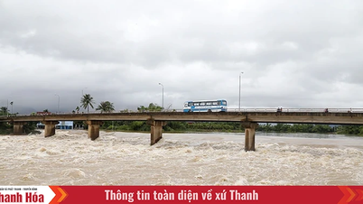
In the past 16 hours (from 00:00 to 16:00 on August 25), the areas of Phu Tho, Quang Ninh provinces and from Thanh Hoa to Quang Tri have had moderate to heavy rain such as: Van Mai 135.2mm (Phu Tho); Phong Coc 125.2mm (Quang Ninh); Bai Thuong 185.4mm (Thanh Hoa); Yen Thuong 172.4mm (Nghe An); Thuong Tuy Lake 542.6mm, Song Rac Lake 476.8mm ( Ha Tinh ); Song Thai Lake 328.8mm, Vuc Tron Lake 307mm (Quang Tri);...
Soil moisture models show that some areas in the above provinces are close to saturation (over 85%) or have reached saturation.
Warning: In the next 3-6 hours, the above provinces will continue to have rain with common accumulated rainfall as follows: Phu Tho, Quang Ninh will have rain from 30-60mm, some places over 100mm; Thanh Hoa, Nghe An and Ha Tinh will have rain from 80-120mm, some places over 200mm; Quang Tri will have rain from 20-40mm, some places over 70mm.
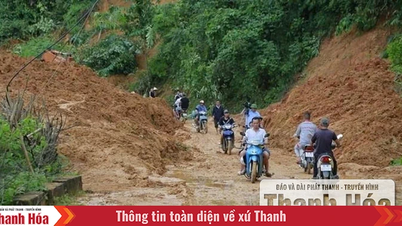
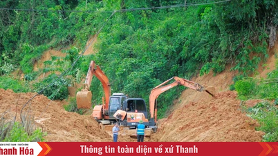
In the next 6 hours, there is a risk of flash floods on small rivers and streams, and landslides on steep slopes in many communes and wards.
Warning level of natural disaster risk due to flash floods, landslides, land subsidence due to heavy rain or water flow: Level 1; Ha Tinh province only level 2.
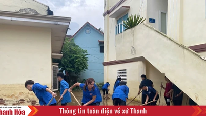
The meteorological agency recommends that local authorities pay attention to reviewing bottlenecks and vulnerable locations in the area to take preventive and response measures.
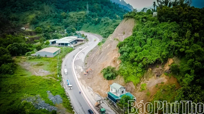
Communes in Thanh Hoa province are forecasted to be at risk of flash floods on small rivers and streams, landslides on steep slopes: Cam Thach, Cam Thuy, Cam Tu, Co Lung, Dien Lu, Dong Luong, Hoa Quy, Kien Tho, Linh Son, Luan Thanh, Luong Son, Mau Lam, Minh Son, Ngoc Lien, Nhu Thanh, Nhu Xuan, Quy Luong, Thach Lap, Thach Quang, Thang Loc, Thanh Phong, Thanh Quan, Thanh Vinh, Thuong Xuan, Van Nho, Van Phu, Van Xuan, Xuan Binh, Xuan Chinh, Yen Thang; Ba Thuoc, Bat Mot, Cam Tan, Cam Van, Cong Chinh, Dien Quang, Giao An, Hien Kiet, Hoi Xuan, Hop Tien, Muong Ly, Muong Min, Nam Xuan, Ngoc Lac, Ngoc Trao, Nguyet An, Phu Le, Phu Xuan, Pu Luong, Quan Son, Son Dien, Tam Lu, Tam Thanh, Tan Thanh, Tay Do, Thach Binh, Thanh Ky, Thien Phu, Thiet Ong, Thuong Ninh, Trung Ha, Trung Ly, Trung Son, Trung Thanh, Truong Lam, Van Du, Xuan Du, Xuan Thai, Xuan Tin, Yen Khuong, Yen Nhan, Yen Phu, Yen Tho; Muong Chanh, Muong Lat, Na Meo, Nhi Son, Pu Nhi, Quang Chieu, Son Thuy, Tam Chung. | |
NM
Source: https://baothanhhoa.vn/canh-bao-lu-quet-sat-lo-dat-tai-nhieu-dia-phuong-cua-tinh-thanh-hoa-259445.htm
![[Photo] National Assembly Chairman Tran Thanh Man holds talks with New Zealand Parliament Chairman](https://vphoto.vietnam.vn/thumb/1200x675/vietnam/resource/IMAGE/2025/8/28/c90fcbe09a1d4a028b7623ae366b741d)


![[Photo] General Secretary To Lam attends the opening ceremony of the National Achievements Exhibition](https://vphoto.vietnam.vn/thumb/1200x675/vietnam/resource/IMAGE/2025/8/28/d371751d37634474bb3d91c6f701be7f)


Comment (0)