

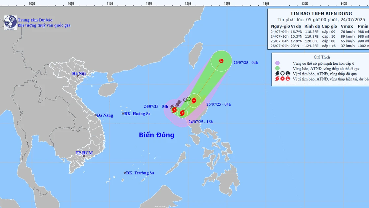
On the afternoon of August 20, the National Center for Hydro-Meteorological Forecasting said that there is a strong disturbance in the Northwest Pacific Ocean that could develop into a tropical depression or storm.
These dangerous weather patterns may move into the East Sea after August 25 and affect the weather in the North and Central regions. Therefore, in the last days of August, the weather in the North of our country may turn bad.
. Source: WINDY")
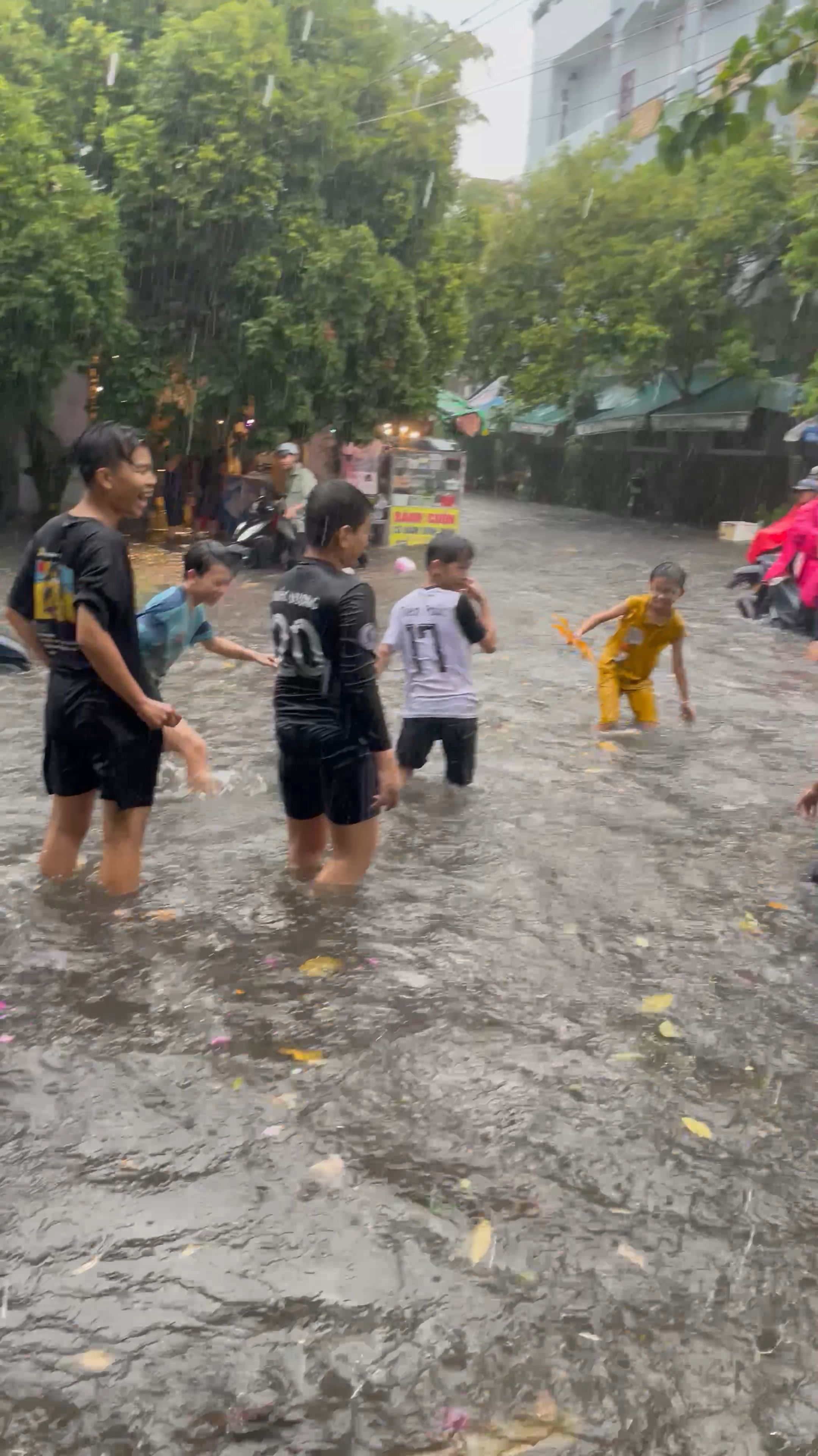
Specifically, in the North from August 21 to 23, there will be rain, concentrated at night and in the morning, with some mountainous areas experiencing heavy to very heavy rain. On August 24 and 25, rain tends to decrease, but from August 26, thunderstorms will increase again over a wide area (risk of moderate to heavy rain).

In the Central region, from August 21 to 23, it will be sunny, with temperatures above 35 degrees Celsius in some places, with scattered showers and thunderstorms in the evening. From August 24 to 31, this area will experience widespread thunderstorms, from Thanh Hoa to Hue, people need to be on guard against moderate to heavy rain (especially after August 26).
Meanwhile, the Central Highlands and the South from August 21 to 31 will still maintain the general pattern of many days with thunderstorms in the afternoon and evening. The highest temperature ranges from 28-31 degrees Celsius in the Central Highlands and 31-34 degrees Celsius in the South.
Source: https://www.sggp.org.vn/bien-dong-co-the-co-bao-sau-ngay-25-8-post809343.html


Comment (0)