

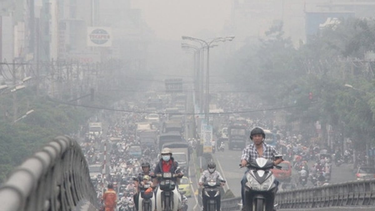
Fishing boats take shelter from the storm at Chanh wharf area, Quang Yen ward, Quang Ninh province. (Photo: Duc Hieu/VNA)
Strongest wind level 10-11 (89-117 km/h), gust level 14.
Forecast in the next 3 hours, the storm moves in the West Southwest direction, speed about 20-25km/h.
In the next 24 hours, the storm will move in the West-Southwest direction, at a speed of about 20-25km/h. The center of the storm is at about 20.8N-108.3E; in the Northern Gulf of Tonkin. The strongest wind is level 11-12, gusting to level 15. Disaster risk level: Level 3. The affected area is the northwest sea area of the North East Sea, the Northern Gulf of Tonkin.
In the next 48 hours, the storm will move in the West-Southwest direction, at a speed of about 10-15km/h and gradually weaken. The center of the storm is at about 20.2N-106.0E; on the mainland along the coast of Hai Phong - Thanh Hoa provinces. The strongest wind is level 9-10, gusting to level 12. Disaster risk level: Level 3. The affected area is the Gulf of Tonkin, coastal waters of provinces from Quang Ninh to Nghe An.
In the next 72 hours, the storm will move in the West Southwest direction, at a speed of about 10-15km/h, gradually weakening into a low pressure area. The center of the low pressure is located at about 19.7N-103.6E; on land in the Upper Laos region. Disaster risk level: Level 3. The affected areas are the Gulf of Tonkin, coastal waters and mainland provinces from Quang Ninh to Nghe An .
Northwest sea area of the North East Sea: Wind level 8-9, near the storm center level 10-11, gust level 14; waves 5-7m high, rough sea.
Northern Gulf of Tonkin: Wind gradually increases to level 6–7, then increases to level 8–9, near the storm center level 10–12, gusting to level 15; waves 2–5m high, rough seas.
Southern Gulf of Tonkin: Wind level 6–7, near the storm center level 8–9, gust level 11; waves 2–4m high, very rough seas.
On land from the evening and night of July 21, coastal areas from Quang Ninh to Nghe An will have strong winds of level 7-9, near the storm center, level 10-11, gusting to level 14. Inland areas will have strong winds of level 6-7, gusting to level 8-9.
Hai Phong-Quang Ninh coastal areas will see water rise 0.8-1.2m. Highest water levels: Hon Dau 3.8-4.2m; Cua Ong 4.8-5.2m; Tra Co 3.8-4.4m. High risk of flooding in coastal areas and river mouths at noon-afternoon on July 22.
It is recommended that no vessels operate in the affected area. Warning of prolonged heavy rain, risk of flash floods, landslides in mountainous areas and flooding in low-lying areas. Special attention should be paid to areas with total rainfall exceeding 200–300mm/period.
Forecast for the next 24–48 hours:
- Night of July 20: Northern and North Central regions: scattered showers and thunderstorms, locally heavy rain. Northeast and Northern Delta: moderate rain, locally heavy to very heavy rain (20–40mm, some places >80mm). Central Highlands and Southern regions: scattered showers and thunderstorms, locally heavy rain (10–30mm, some places >70mm)
- From July 21 to 22: Northeast, Northern Delta, Thanh Hoa, Nghe An: heavy to very heavy rain, generally 120-250mm, some places >400mm. Other places in the North and Ha Tinh: heavy rain, locally very heavy, generally 70-150mm, some places >200mm. Warning of heavy rain >150mm/3h
- From the night of July 22 to July 23: Northeast, Northern Delta, Thanh Hoa, Nghe An: heavy to very heavy rain, generally 60-100mm, some places >200mm. Other places in the North, Ha Tinh: moderate, heavy, locally very heavy rain (30-60mm, some places >100mm)
Total rainfall 21–23/7: Northeast, Northern Delta, Thanh Hoa, Nghe An: 200–350mm, some places >600mm. Other places in the North and Ha Tinh: 100–200mm, some places >300mm
From July 24-25: The North and North Central regions continue to have the possibility of moderate rain, heavy rain and thunderstorms, locally very heavy rain./.
According to VNA
Source: https://baothanhhoa.vn/bao-so-3-con-cach-quang-ninh-hai-phong-khoang-418km-ve-phia-dong-255480.htm


![[Photo] National Assembly Chairman Tran Thanh Man visits Vietnamese Heroic Mother Ta Thi Tran](https://vphoto.vietnam.vn/thumb/1200x675/vietnam/resource/IMAGE/2025/7/20/765c0bd057dd44ad83ab89fe0255b783)


Comment (0)