

The National Center for Hydro-Meteorological Forecasting said that at around 1pm on July 7, the eye of the storm was at around 26.8 degrees North latitude; 121.8 degrees East longitude, over the sea of Fujian province (China). The strongest wind near the eye of the storm was at level 11, gusting to level 14; moving in a North-Northeast direction at a speed of around 20-25 km/hour.
Forecast as of 1 p.m. on July 8, the center of the storm is at about 28.4 degrees North latitude; 121.6 degrees East longitude, over the sea of Zhejiang province (China). The strongest wind near the center of the storm is level 9, gusting to level 11; moving in the direction of North Northeast, then Northwest at a speed of about 10 - 15 km/hour and gradually weakening.

According to Mr. Hoang Phuc Lam, Deputy Director of the National Center for Hydro-Meteorological Forecasting, around July 9, storm No. 2 entered the mainland of Zhejiang province (China) and weakened into a low pressure area.
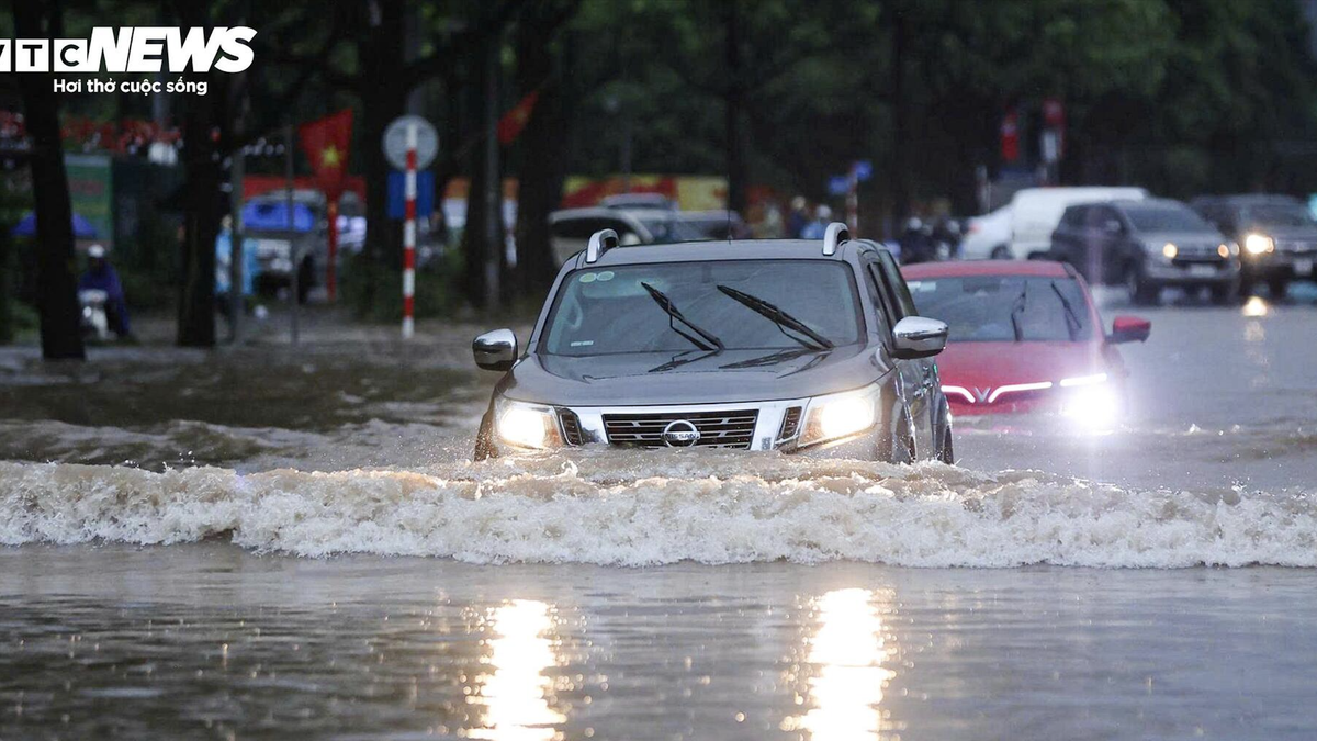
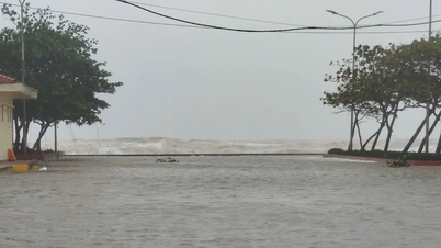
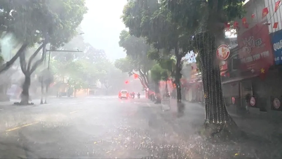
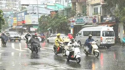
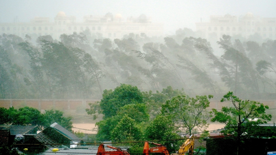
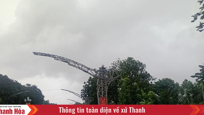
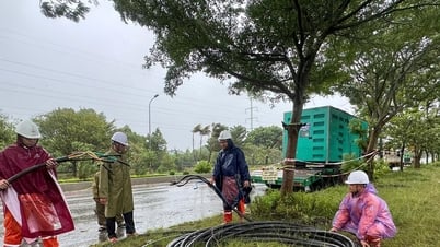
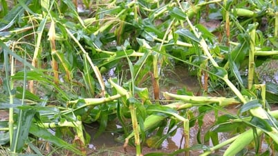
The meteorological agency warns that from July 6 to 7, the northeastern sea area of the North East Sea will have storms and strong winds of level 7-9, the area near the storm's center will have winds of level 10-12, gusts of level 15, waves 4-6 m high, and rough seas. Ships operating in the above-mentioned dangerous areas are likely to be affected by storms, whirlwinds, strong winds and big waves.
Weather forecast for regions across the country from the night of July 6 to 8:
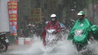
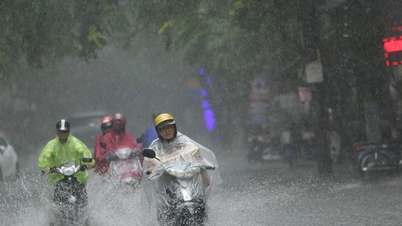
Northern region , in the late afternoon and at night there will be scattered showers and thunderstorms in some places, especially in Lai Chau, Dien Bien , Son La areas there will be scattered showers and thunderstorms, locally heavy rain in some places; sunny during the day, hot in some places.
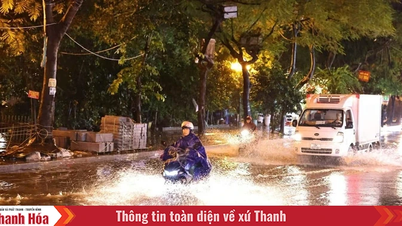
In the Central region from Thanh Hoa to Quang Ngai , there will be scattered showers and thunderstorms in the late afternoon and evening; in the North, there will be scattered showers and thunderstorms in the late afternoon and evening, with some places having heavy rain; during the day, it will be sunny and hot in some places.
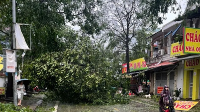
Other areas have scattered showers and thunderstorms; in the Central Highlands and the South, there will be scattered showers and thunderstorms in the late afternoon and evening, with some places having heavy rain. Thunderstorms may include tornadoes, lightning, hail and strong gusts of wind.
Weather forecast from night of July 8 to 16:
In the Northern region , it will be sunny during the day, with some places experiencing hot weather; in the evening and at night, there will be showers and thunderstorms in some places; in the Northwest region, there will be scattered showers and thunderstorms, with some places experiencing heavy rain. From the evening and at night of July 9 to 12, there will be a possibility of rain, moderate rain and scattered thunderstorms, with some places experiencing heavy to very heavy rain. From July 13, there will be scattered showers and thunderstorms in the mountainous regions, with some places experiencing heavy rain.
The Central region from Thanh Hoa to Hue and the South Central Coast will have sunny days, some places will be hot; in the evening and at night there will be showers and thunderstorms in some places. In particular, Thanh Hoa and Nghe An from the night of July 9 to 12, there is a possibility of showers and thunderstorms, some places will have heavy to very heavy rain.
In the Central Highlands and the South , there will be scattered showers and thunderstorms in the afternoon and evening. Thunderstorms may include tornadoes, lightning, hail and strong gusts of wind.
Source: https://www.sggp.org.vn/bao-so-2-gay-gio-giat-cap-15-tren-khu-vuc-bac-bien-dong-post802696.html
![[Photo] Exhibition “80 years of journey of Independence-Freedom-Happiness”: An inspirational meeting place for the young generation](https://vphoto.vietnam.vn/thumb/1200x675/vietnam/resource/IMAGE/2025/8/26/2aaef59beb604923b0f848f5c6311dbd)


![[Photo] General Secretary To Lam attends the 80th anniversary of Vietnam's diplomacy](https://vphoto.vietnam.vn/thumb/1200x675/vietnam/resource/IMAGE/2025/8/25/3dc715efdbf74937b6fe8072bac5cb30)


Comment (0)