
The northern mountainous provinces of Thanh Hoa and Nghe An are warned to be areas at high risk of flash floods and landslides, even in the post-storm period.
.")
Development and characteristics of storm number 3
Sharing with the press at noon on July 21, Ms. Nguyen Thanh Binh said: During the night of July 20 and early morning of July 21, storm No. 3 made landfall in southern China, passing through the Leizhou peninsula and then moving down to the Gulf of Tonkin. Initially, the storm's speed tended to slow down. However, in the past few hours, when entering the Gulf of Tonkin, the storm accelerated to about 15km/h in a West-Northwest direction.
The storm's cloud circulation is quite wide, covering the entire eastern region and extending to the east of the Leizhou Peninsula. However, the thick cloud and convective cloud areas - factors causing heavy rain - are concentrated in a narrow range. Therefore, although Hanoi and some provinces in the Northern Delta are overcast, the initial rainfall is not significant. However, according to forecasts, when the storm moves closer to the coast of our country, the cloud organization will stabilize again, the intensity may increase, causing the convective cloud areas to approach and the rain will increase rapidly.
Ms. Binh also said that the forecast shows that rain will start to increase sharply from the evening of July 21 and peak during the night of July 21 to the morning of July 22 - the time when the eye of the storm approaches the coastal areas of our country.
Areas most likely to experience heavy rain include:
Northeastern Mountains: Due to the interaction between northeast winds and the arc terrain, rainfall will increase in this area.
Thanh Hoa - Nghe An mountainous area: This is the area with the most heavy rain, identified as the "rain center" due to the terrain characteristics in the north of the Truong Son range.
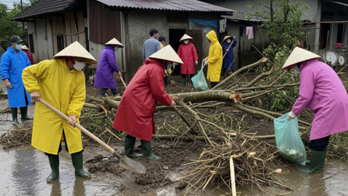
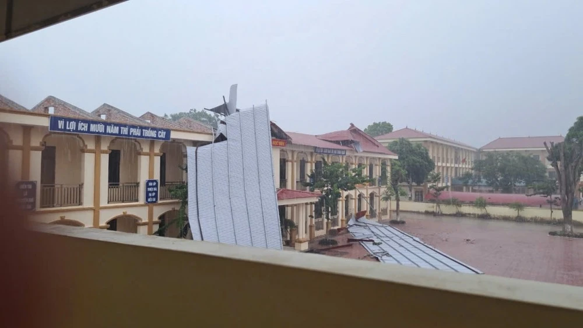
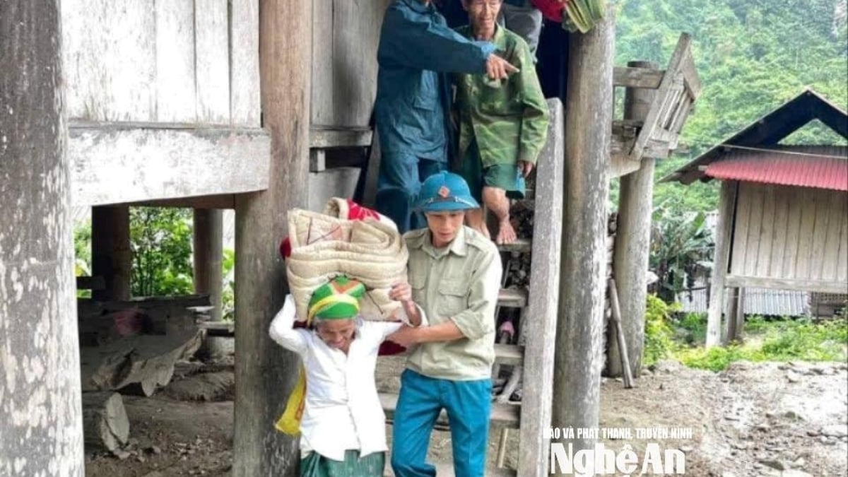
Heavy, prolonged rainfall can cause flooding in low-lying areas, especially the risk of flash floods and landslides in mountainous areas.
Special warning about landslide risk after storm
According to Ms. Nguyen Thanh Binh, a notable factor is the formation of a tropical convergence zone due to the impact of storm No. 3. This convergence zone will cross the North and the Northern Laos region, which is the reason why the bad weather will continue to last, even after the storm center weakens or gradually dissipates (it may turn into a low-lying area after moving to Laos).
That means, rain will continue in many localities in the North and North Central regions in the next few days.
Meteorological experts also emphasized that the risk of landslides does not only appear during the heaviest rains, but can also occur after the storm has passed. Although the rain may gradually decrease, because the soil and rocks have been soaked with water for a long time, landslides can still continue and cause serious consequences.
"In reality, many landslides have occurred after the rain has stopped, so people in high-risk areas need to be especially vigilant," Ms. Binh emphasized.
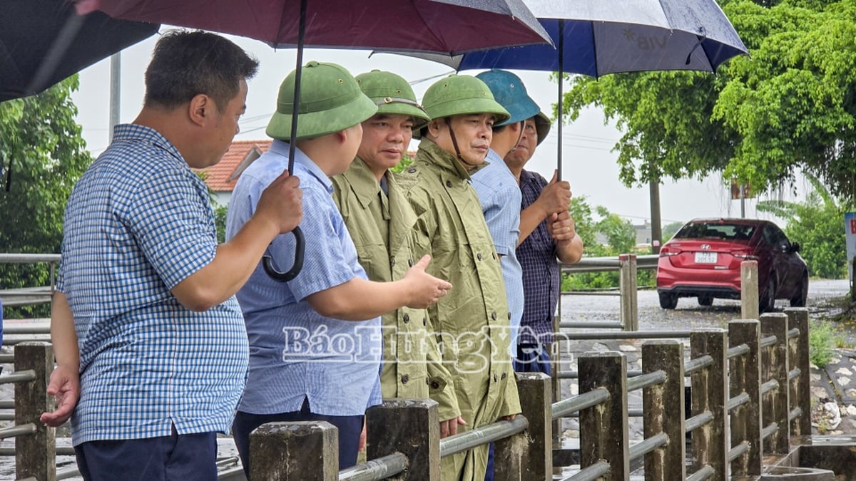
The National Center for Hydro-Meteorological Forecasting recommends that people closely monitor weather developments through official news, proactively deploy measures to prevent flash floods, landslides and inundation; and comply with the direction of local authorities to ensure the safety of life and property.
Source: https://baolaocai.vn/chuyen-gia-canh-bao-mua-lon-keo-dai-sau-bao-so-3-post649356.html


![[Photo] National Assembly Chairman Tran Thanh Man visits Vietnamese Heroic Mother Ta Thi Tran](https://vphoto.vietnam.vn/thumb/1200x675/vietnam/resource/IMAGE/2025/7/20/765c0bd057dd44ad83ab89fe0255b783)


Comment (0)