

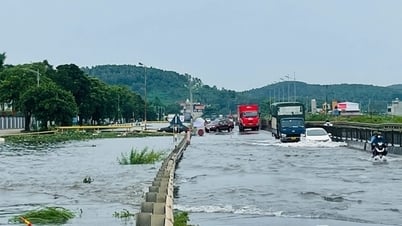
On the afternoon of August 28, the National Center for Hydro-Meteorological Forecasting informed: At 1:00 p.m., the center of the tropical depression was located in the North East Sea, about 420km East Southeast of Hoang Sa special zone.
The strongest wind near the center of the tropical depression is level 6-7 (39-61km/h), gusting to level 9. Moving southwest at a speed of 10-15km/h.

Forecast for the next 24 to 48 hours:
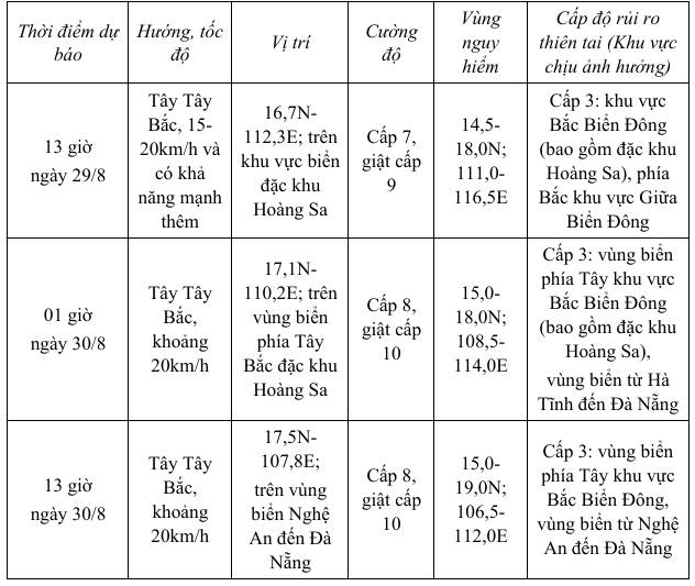
From the next 48 to 72 hours, the tropical depression will continue to move mainly in the West direction, traveling about 20km per hour and gradually weakening.
Forecast of the impact of the tropical depression: The North East Sea area (including Hoang Sa special zone) and the sea area north of the Central East Sea area will have strong winds of level 6-7, gusting to level 9; waves 2.0-4.0m high, rough seas. Ships operating in the above-mentioned dangerous areas are likely to be affected by storms, whirlwinds, strong winds, and large waves.
Source: https://cand.com.vn/Xa-hoi/ap-thap-nhiet-doi-se-di-chuyen-vao-vung-bien-nghe-an-den-da-nang-i779640/
![[Photo] Prime Minister Pham Minh Chinh meets with Speaker of the New Zealand Parliament Gerry Brownlee](https://vphoto.vietnam.vn/thumb/1200x675/vietnam/resource/IMAGE/2025/8/28/cec2630220ec49efbb04030e664995db)
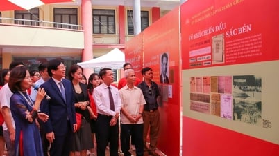
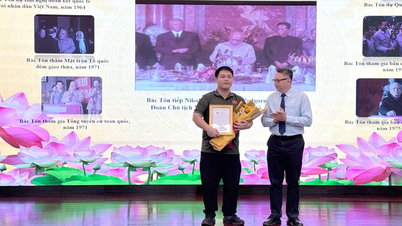
![[Photo] General Secretary To Lam presents the 45-year Party membership badge to comrade Phan Dinh Trac](https://vphoto.vietnam.vn/thumb/1200x675/vietnam/resource/IMAGE/2025/8/28/e2f08c400e504e38ac694bc6142ac331)
![[Photo] Red flag with yellow star flutters in France on National Day September 2](https://vphoto.vietnam.vn/thumb/1200x675/vietnam/resource/IMAGE/2025/8/28/f6fc12215220488bb859230b86b9cc12)
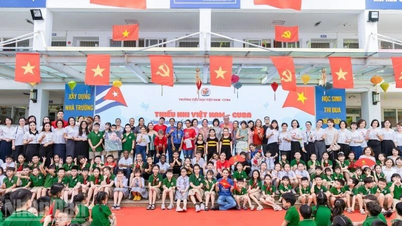
![[Photo] General Secretary To Lam attends the opening ceremony of the National Achievements Exhibition](https://vphoto.vietnam.vn/thumb/1200x675/vietnam/resource/IMAGE/2025/8/28/d371751d37634474bb3d91c6f701be7f)
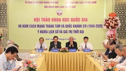
![[Photo] Politburo works with the Standing Committee of Cao Bang Provincial Party Committee and Hue City Party Committee](https://vphoto.vietnam.vn/thumb/1200x675/vietnam/resource/IMAGE/2025/8/28/fee8a847b1ff45188749eb0299c512b2)


Comment (0)