

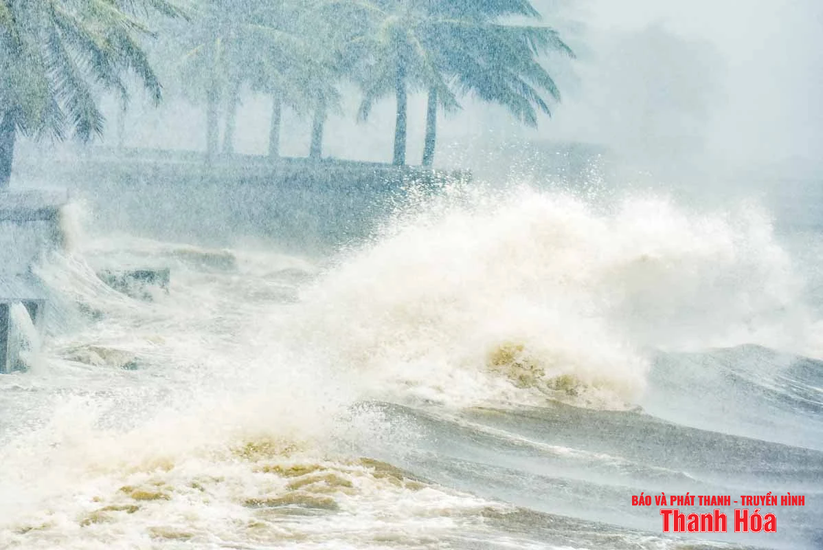
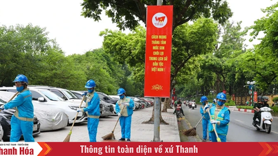
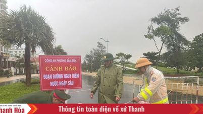
Illustration photo.
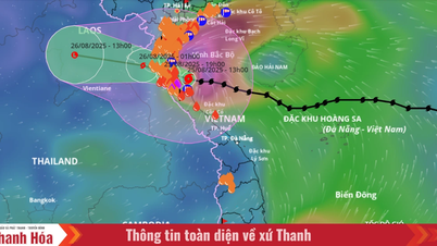
At 7:00 a.m. on August 25, the center of the storm was at approximately 18.4 degrees North latitude; 107.2 degrees East longitude, approximately 160 km East Southeast of Nghe An, approximately 145 km East of Ha Tinh , approximately 155 km East Northeast of Northern Quang Tri. The strongest wind near the center of the storm was level 14 (150-166 km/h), gusting to level 17; moving West Northwest at approximately 20 km/h.
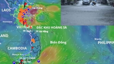
At Bach Long Vy station, there were strong winds of level 7, gusting to level 9; at Co To station, there were strong winds of level 6, gusting to level 9; at Hon Ngu station, there were strong winds of level 7, gusting to level 9; at Con Co station, there were strong winds of level 6, gusting to level 8; at Phu Quy station, there were strong southwest winds of level 6, gusting to level 7; at Hoanh Son station, there were gusting to level 8; at Truong Sa station, there were gusting to level 7; at Ly Son station, there were gusting to level 6.
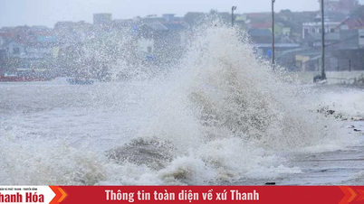
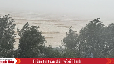
In the next 24 hours, the sea from Thanh Hoa to Quang Tri (including Hon Ngu island, Con Co special zone), strong winds, gusting at level 8-11, near the storm's eye level 12-14, gusting at level 17. The sea is very rough. The wind will gradually decrease at night. Waves are 5-7m high, near the storm's eye 8-10m.
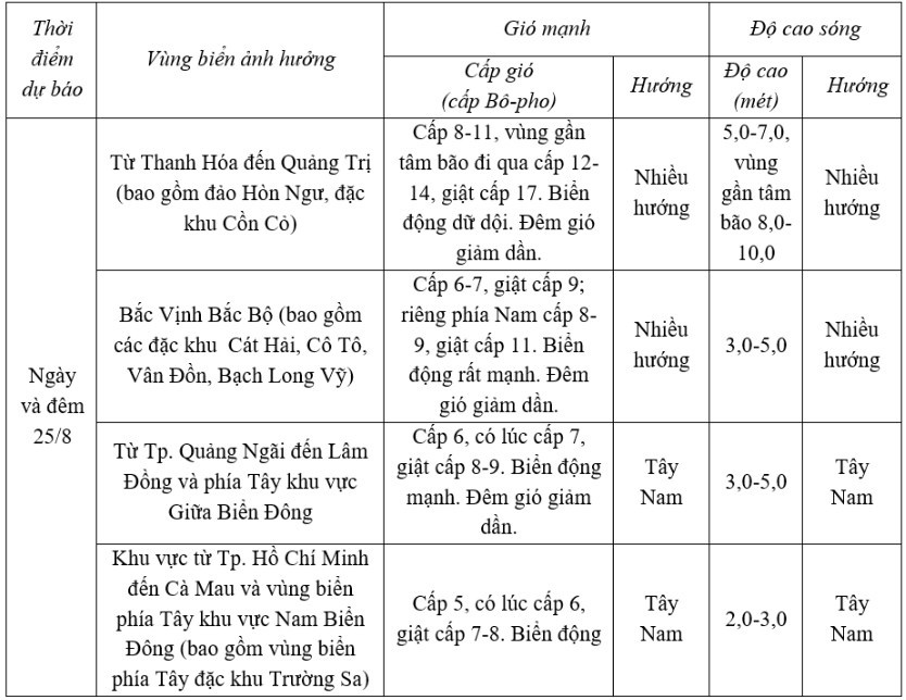
In addition, on August 25, the Gulf of Tonkin, the sea area from South Quang Tri to Hue City will have storms. The sea area west of the North East Sea (including Hoang Sa special zone), the sea area from Da Nang City to Ca Mau, from Ca Mau to An Giang , the Gulf of Thailand, the sea area east of the North East Sea, the Central and South East Sea areas (including Truong Sa special zone) will have showers and thunderstorms. During thunderstorms, there is a possibility of tornadoes, strong gusts of wind level 6-7 and waves over 2.0m high.
Warning: from August 26, winds in most sea areas continue to decrease.
Level of natural disaster risk due to strong winds at sea: the western sea area of the North East Sea, the Gulf of Tonkin, the sea area from South Quang Tri to Hue City level 3, especially the coastal sea area from Thanh Hoa to Quang Tri level 4; other sea areas level 2.
Impact Forecast: All vessels operating in the above areas are at high risk of being affected by cyclones, strong winds and large waves.
LP
Source: https://baothanhhoa.vn/thanh-hoa-du-bao-bien-dong-du-doi-gio-giat-len-den-cap-17-259378.htm


![[Photo] General Secretary To Lam attends the 80th anniversary of Vietnam's diplomacy](https://vphoto.vietnam.vn/thumb/1200x675/vietnam/resource/IMAGE/2025/8/25/3dc715efdbf74937b6fe8072bac5cb30)


Comment (0)