

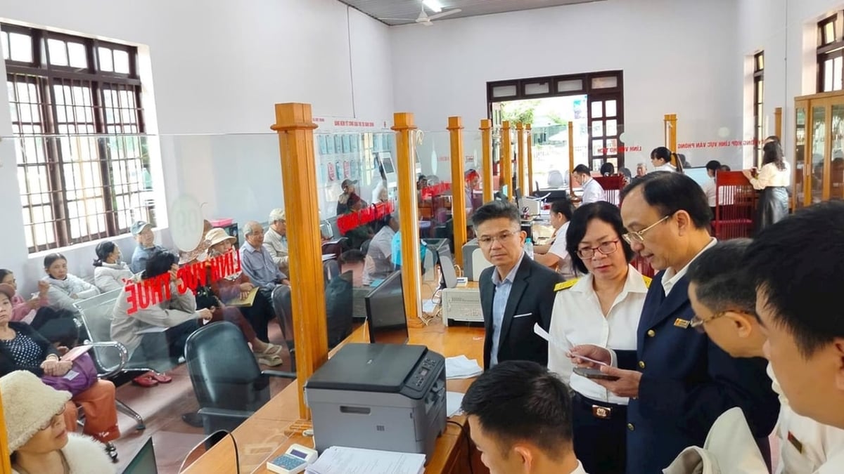
According to the plan, all work of updating and correcting cadastral and physical maps must be completed before June 30, 2025. Illustrative photo
The Hanoi Department of Agriculture and Environment is urgently adjusting and updating cadastral map data and physical maps for 126 new communes and wards when implementing the "Project to rearrange and reorganize administrative units at all levels and the 2-level local government organization model" in the city.
Updating cadastral and physical maps after administrative unit arrangement is a particularly important task, contributing to the completion of a synchronous and accurate cadastral records system, effectively serving the direction and administration in the fields of land, agriculture, urban planning and infrastructure development.
The new maps will accurately show new administrative boundaries, land plot boundaries, infrastructure works, agricultural production areas... in accordance with reality and current technical standards for surveying and mapping.
According to the plan, all work of updating and correcting cadastral and physical maps must be completed before June 30, 2025. The Hanoi Department of Agriculture and Environment is focusing on directing its affiliated units to coordinate with localities to review the current status of land use, conduct field inspections and re-measurements in areas with major fluctuations... to complete the plan on time.
The leader of the Department of Agriculture and Environment said that the early completion of updating cadastral and physical maps at 126 administrative units is an urgent requirement to ensure legality, consistency, and transparency in land management when the 2-level local government organization model in the city officially comes into operation from July 1, 2025.
Thuy Chi
Source: https://baochinhphu.vn/ha-noi-gap-rut-cap-nhat-ban-do-dia-chinh-cho-126-xa-phuong-moi-103250610103619579.htm


![[Infographic] In 2025, 47 products will achieve national OCOP](https://vphoto.vietnam.vn/thumb/402x226/vietnam/resource/IMAGE/2025/7/16/5d672398b0744db3ab920e05db8e5b7d)


Comment (0)