

Path of storm number 1
At 7:00 a.m. on June 11, the center of storm No. 1 Wutip was located at about 16.1 degrees north latitude; 113.7 degrees east longitude in the sea east of the Hoang Sa archipelago. The strongest wind near the center of the storm was level 8 (62 - 74 km/h), gusting to level 10.
It is forecasted that in the next 24 hours, the tropical depression will move west-northwest at a speed of about 10 km/h and is likely to strengthen.
At 7:00 a.m. on June 12, the eye of the storm was located at approximately 16.7 degrees north latitude - 111.5 degrees east longitude; in the Hoang Sa archipelago. The strongest wind near the eye of the storm was level 9, gusting to level 11.
The danger zone in the next 24 hours is around 14.5 - 18.5 degrees north latitude; 110 - 115.5 degrees east longitude. The level of natural disaster risk at sea is level 3 in the North East Sea area (including Hoang Sa archipelago).
It is forecasted that in the next 48 hours, the storm will move northwest at a speed of about 5 - 10 km/h and is likely to strengthen.
At 7:00 a.m. on June 13, the center of the storm was at approximately 18.2 degrees north latitude - 109.8 degrees east longitude; in the area south of Hainan Island (China).
The strongest wind near the storm center is level 10, gusting to level 13.
The danger zone in the next 48 hours is around 15 - 20 degrees north latitude; 108 - 113 degrees east longitude. The level of natural disaster risk at sea is level 3 in the North East Sea area (including Hoang Sa archipelago) and offshore waters from Quang Tri to Quang Ngai , and the sea area east of the Gulf of Tonkin.
It is forecasted that in the next 72 hours, the storm will move north at a speed of about 5 - 10 km/h and gradually weaken.
At 7:00 a.m. on June 14, the center of the storm was located at approximately 20.4 degrees north latitude - 109.6 degrees east longitude; in the sea west of Leizhou Peninsula (China). The strongest wind near the center of the storm was level 9, gusting to level 12.
The danger zone in the next 72 hours is north of latitude 16.5; 107 - 112 degrees east longitude. The level of natural disaster risk at sea is level 3 in the western sea area of the North East Sea (including Hoang Sa archipelago), the eastern sea area of the Gulf of Tonkin.
From the next 72 to 120 hours, the storm moved in a north-northeast direction then changed direction to the northeast at about 20km per hour.
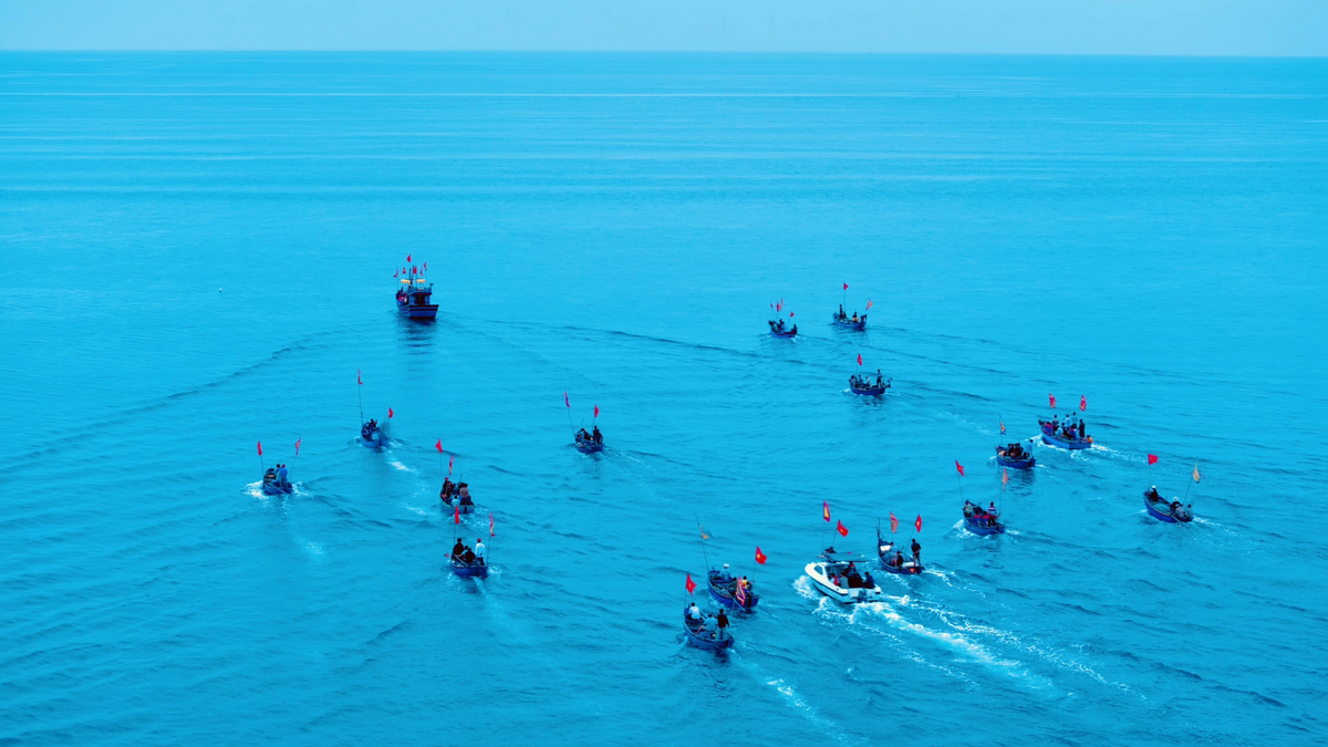
Regarding the impact of storm No. 1, the North East Sea area (including the waters of Hoang Sa archipelago), the north of the central East Sea area has thunderstorms and strong winds of level 6 - 7, the area near the storm's eye has winds of level 8 - 9, gusts of level 11, waves 3 - 5m high, very rough seas; the south of the central East Sea area, the South East Sea area (including the waters of Truong Sa archipelago) has strong southwest winds of level 6, sometimes level 7, gusts of level 8 - 9, waves 2 - 4m high, rough seas.
Ships operating in the above mentioned dangerous areas are likely to be affected by storms, whirlwinds, strong winds and large waves.
Thu Cuc
Source: https://baochinhphu.vn/bao-so-1-vao-bien-dong-gio-giat-cap-10-102250611090049819.htm


Comment (0)