

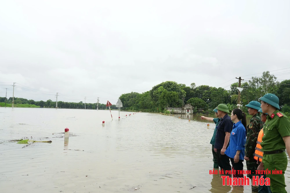
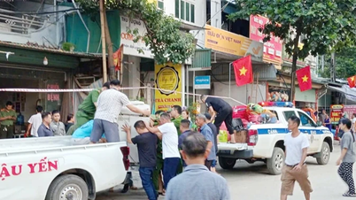
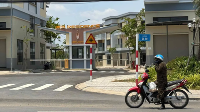
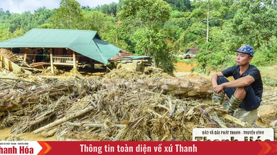
The flooded road is about 1,200m long, 80cm deep in some places.
According to records, the flooded road is about 1,200m long, the water level measured at the highest point is up to about 80cm. Many vehicles cannot circulate, the risk of traffic safety is high.
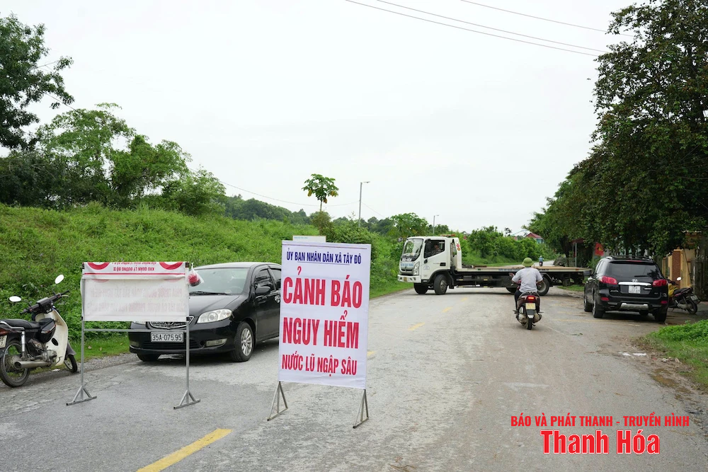
Authorities have placed barriers and warning signs at both ends of the flooded area.
Faced with the above situation, Tay Do commune authorities quickly mobilized the commune police force, militia and youth union to work 24/7 at the beginning and end of the flooded area.
Authorities have placed barricades, warning signs and strictly prohibited people and vehicles from passing through to ensure the safety of life and property.
Tay Do Commune People's Committee recommends that people and vehicles proactively choose alternative routes and absolutely do not intentionally go through flooded areas.
Currently, local authorities are closely monitoring the developments of floods and rains, coordinating with higher-level authorities to have timely solutions to ensure smooth traffic again.
To Ha and collaborator Le Thu
Source: https://baothanhhoa.vn/quoc-lo-45-doan-qua-xa-tay-do-bi-ngap-sau-cam-nguoi-va-phuong-tien-qua-lai-259720.htm
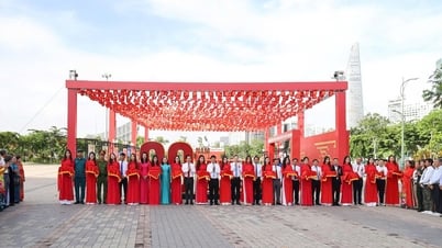
![[Photo] General Secretary To Lam attends the opening ceremony of the National Achievements Exhibition](https://vphoto.vietnam.vn/thumb/1200x675/vietnam/resource/IMAGE/2025/8/28/d371751d37634474bb3d91c6f701be7f)
![[Photo] Prime Minister Pham Minh Chinh meets with Speaker of the New Zealand Parliament Gerry Brownlee](https://vphoto.vietnam.vn/thumb/1200x675/vietnam/resource/IMAGE/2025/8/28/cec2630220ec49efbb04030e664995db)
![[Photo] General Secretary To Lam presents the 45-year Party membership badge to comrade Phan Dinh Trac](https://vphoto.vietnam.vn/thumb/1200x675/vietnam/resource/IMAGE/2025/8/28/e2f08c400e504e38ac694bc6142ac331)
![[Photo] Red flag with yellow star flutters in France on National Day September 2](https://vphoto.vietnam.vn/thumb/1200x675/vietnam/resource/IMAGE/2025/8/28/f6fc12215220488bb859230b86b9cc12)

![[Photo] Politburo works with the Standing Committee of Cao Bang Provincial Party Committee and Hue City Party Committee](https://vphoto.vietnam.vn/thumb/1200x675/vietnam/resource/IMAGE/2025/8/28/fee8a847b1ff45188749eb0299c512b2)


Comment (0)