
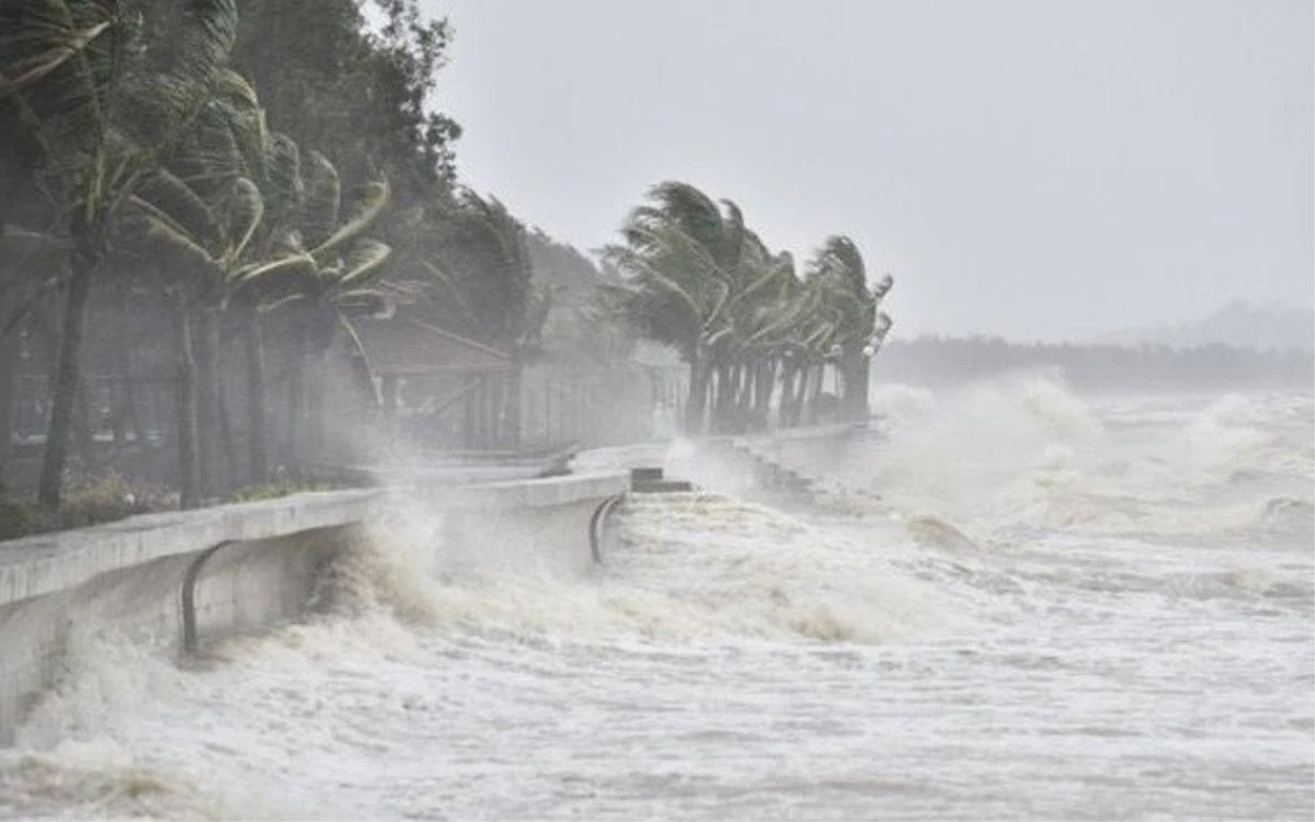
Illustration photo.
According to the National Center for Hydro-Meteorological Forecasting, at 1am this morning (July 18), the tropical depression moved in a West-Northwest direction at a speed of about 20km/h and was likely to strengthen into a storm. Wind force was level 8, gusting to level 10.
Early in the morning of July 19, the storm will enter the eastern part of the North East Sea. The strongest wind near the storm's center can reach 104 km/h, equivalent to level 11 wind.
Warning: In the next 24-48 hours, the storm will move in the West-Northwest direction, traveling 15-20km per hour and is likely to continue to strengthen.
The storm is forecast to head towards the northern Gulf of Tonkin with a probability of about 50-60%. If this scenario occurs, there is a risk of widespread heavy rain in the northern region and the provinces of Thanh Hoa and Nghe An from July 20-25.
The National Center for Hydro-Meteorological Forecasting recommends that people regularly update the developments of tropical depressions to promptly prevent and respond.
NDS
Source: https://baothanhhoa.vn/ap-thap-nhiet-doi-manh-len-thanh-bao-thanh-hoa-se-mua-lon-255116.htm


Comment (0)