
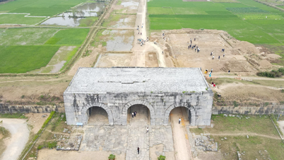
The information is stated in the Project to adjust the planning of Ho Chi Minh City to 2040 with a vision to 2060, announced on the morning of June 25. The event was broadcast online to 168 wards, communes and special zones of the new Ho Chi Minh City.
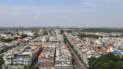
The project defines the planning scope to include the entire Ho Chi Minh City (old), including Thu Duc City, 16 districts and 5 counties, with a total area of 2,095 km2. The city will be divided into 6 development zones: center, East, West, North, South and Southeast, corresponding to the core areas of Saigon - Cho Lon, Truong Tho - Rach Chiec, Phu My Hung expansion, Tan Kien, Northwest Hoc Mon, Southwest Cu Chi.
According to the plan, the zones will develop into 60 "living basins", which integrate living, working, shopping and entertainment spaces. These areas will be connected to the center by public transport, road and water systems, ensuring that people can travel within a 5 km radius, taking about 15 - 20 minutes.
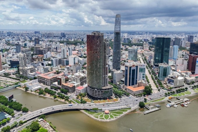
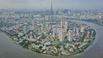
In particular, the central zone (about 172 km2, population forecast by 2040 of 5.4 - 6.05 million people) is the core area of Saigon - Cho Lon, playing the role of administrative, commercial, service, knowledge-based economic and tourism center. This place will preserve architectural heritage, reduce residential density, and increase building height.
The Eastern zone is the current Thu Duc City (211 km2, population by 2040 about 2.2 - 2.64 million people), oriented to become a creative urban area with financial, high-tech,educational , medical and eco-tourism centers. The focus of development is Thu Thiem, Truong Tho - Rach Chiec and Long Phuoc - Tam Da.
The Western zone (233 km2, population 1.55 - 1.86 million people) includes part of Binh Tan district and Binh Chanh district, will develop into an industrial and service urban area, a center for biomedical, pharmaceutical chemistry and vocational training.
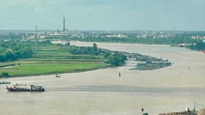
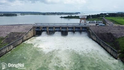
The Northern area (579 km2, population of about 2.5 - 3.15 million people) includes Cu Chi and Hoc Mon districts and the northern part of District 12. This will be an urban area of services, resorts, entertainment and eco-cultural tourism. Infrastructure will be renovated along Highway 22, developing an urban strip along the Saigon River.
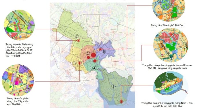
The Southern region (194 km2, population of about 1.8 - 2.2 million people) includes District 7, Nha Be and part of Binh Chanh, oriented to become a high-tech urban area, marine economy, exhibition center, fair, logistics and advanced industry.
The Southeast region is Can Gio district (732 km2, population about 0.5 - 0.6 million people), planned as an ecological urban area, a marine economic center, a gateway to the sea. Development orientation is associated with the Can Gio biosphere reserve and the mangrove ecosystem.
At the announcement ceremony, Vice Chairman of Ho Chi Minh City People's Committee Bui Xuan Cuong said that the project was researched on the basis of regional connectivity, calculating the connectivity between Ho Chi Minh City and the Southeast provinces such as Binh Duong and Ba Ria - Vung Tau, as a foundation for planning Ho Chi Minh City after the merger.
Chairman of Ho Chi Minh City People's Committee Nguyen Van Duoc requested departments, branches and localities to soon deploy zoning plans at scale 1/2000 and detailed plans at scale 1/500 to serve as a basis for investment management. People only need to register to build according to the plan, without needing to apply for a permit, following the Prime Minister's direction.
VN (according to VnExpress)Source: https://baohaiduong.vn/tp-ho-chi-minh-duoc-quy-hoach-thanh-6-phan-vung-do-thi-414948.html


![[Photo] General Secretary To Lam works with the Standing Committee of Quang Binh and Quang Tri Provincial Party Committees](https://vphoto.vietnam.vn/thumb/1200x675/vietnam/resource/IMAGE/2025/6/25/6acdc70e139d44beaef4133fefbe2c7f)
![[Photo] More than 124,000 candidates in Hanoi complete procedures for the 2025 High School Graduation Exam](https://vphoto.vietnam.vn/thumb/1200x675/vietnam/resource/IMAGE/2025/6/25/fa62985b10464d6a943b58699098ae3f)
![[Photo] First training session in preparation for the parade to celebrate the 80th anniversary of National Day, September 2nd](https://vphoto.vietnam.vn/thumb/1200x675/vietnam/resource/IMAGE/2025/6/25/ebf0364280904c019e24ade59fb08b18)


Comment (0)