
The NISAR satellite, which was recently launched from Sriharikota (India), is the largest collaboration ever between NASA and ISRO. With the ability to measure terrain changes with an accuracy of 1 cm, NISAR is expected to change the way people monitor and respond to geological, climatic and natural disasters.
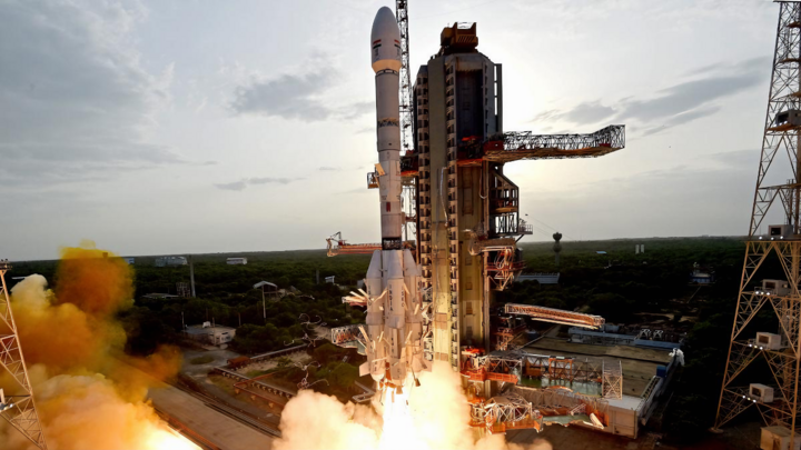
ISRO's rocket carrying the NISAR earth observation satellite lifts off from the launch pad at the Satish Dhawan Space Centre in Sriharikota, India, on July 30, 2025. (Source: ISRO)
NISAR uses two radar systems operating at two different wavelengths: the L-band developed by NASA and the S-band from ISRO. This combination allows the satellite to scan nearly the entire surface of the Earth every 12 days, regardless of weather or time of day.
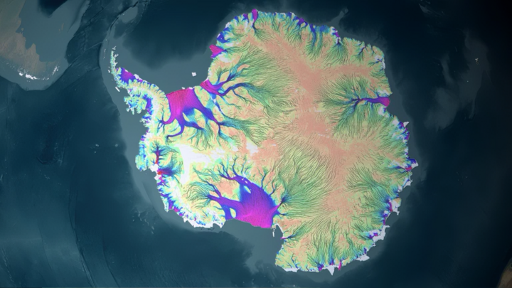
NISAR will be able to measure the detailed movement of ice in Antarctica (shown on a color map). (Source: NASA)
NISAR is capable of scanning the ground through layers of vegetation and soil, helping to measure moisture and underground movement. As a result, the satellite is sensitive and can react quickly to rapid changes such as landslides and flash floods. Synthetic Aperture Radar (SAR) technology synthesizes data from multiple scans, creating images with superior detail compared to optical cameras.
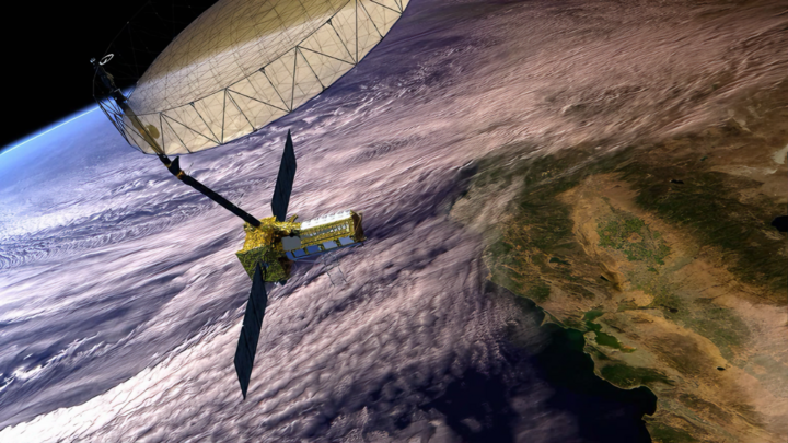
The NISAR satellite will measure physical changes on the Earth's surface as small as 1 cm. (Source: NASA)
NISAR is not only a research tool but also a powerful “assistant” for rescue forces and policy makers, including:
First, monitoring urban subsidence, geological faults, floods, earthquakes, landslides – providing up-to-date data for rapid response.
Second, monitoring Antarctic ice melt, forest changes, soil moisture – for climate and agricultural research.
Third, data from NISAR will be made publicly available for free, giving countries – including Vietnam – access to high-quality information.
Source: https://vtcnews.vn/nissar-ve-tinh-radar-giam-sat-trai-dat-chinh-xac-den-tung-centimet-ar957151.html


Comment (0)