According to the National Center for Hydro-Meteorological Forecasting, at 1:00 p.m. this afternoon (September 5), the center of the low pressure area was at about 16.0 - 17.0° North latitude; 117.8 - 118.8° East longitude, in the North East Sea.
This low pressure area is forecast to move west-northwest, about 10km per hour and is likely to strengthen into a tropical depression.
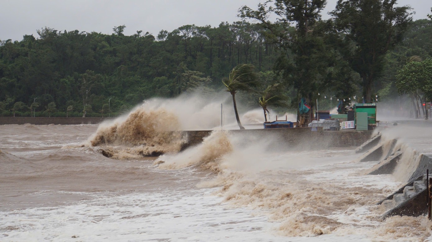
Due to the influence of the low pressure circulation (which may later strengthen into a tropical depression), from September 6, the eastern sea area of the North East Sea will have showers and thunderstorms. The wind will gradually increase to level 6, gusting to level 8, waves 2-4m high, rough seas.

According to the assessment, the tropical depression is unlikely to make landfall in our country but will move up to the Hong Kong area (China). The remnants of the tropical depression may then cause scattered showers and thunderstorms in the Northern region, with some places experiencing heavy rain.
However, the development of tropical depressions is still unpredictable. Forecast information on the development of low pressure areas (which may later strengthen into tropical depressions) is regularly updated on the electronic information portal of the National Center for Hydro-Meteorological Forecasting.
The activity of the low pressure area also strengthens the southwest monsoon, causing rain in the Southern and Central Highlands regions.
It is forecasted that in the evening and night of September 5, the Central Highlands and the South will have scattered showers and thunderstorms, locally heavy rain with rainfall of 10-30mm, some places over 70mm. Warning of the risk of heavy rain over 70mm in 3 hours. Thunderstorms are likely to cause tornadoes, lightning, hail and strong gusts of wind.
In the next 2-3 days, this area will continue to have scattered showers and thunderstorms in the late afternoon and evening, with some areas having moderate to heavy rain.
In addition, in the coming days, the area from Quang Tri to Hue and the South Central Coast will experience scattered showers in the late afternoon and evening. Thunderstorms are likely to include tornadoes, lightning, hail and strong gusts of wind.
The East Sea is experiencing a year of many storms. In August, there were 2 storms and 2 tropical depressions in the East Sea, of which 2 storms and 1 tropical depression directly affected our mainland.
It is forecasted that in September, there will be about 2-3 storms/tropical depressions active in the East Sea, of which 1-2 may affect mainland Vietnam.
Source: https://baolaocai.vn/bien-dong-sap-co-ap-thap-nhiet-doi-post881413.html


![[Photo] Prime Minister Pham Minh Chinh chairs the 20th meeting of the Steering Committee for important national projects and works](https://vphoto.vietnam.vn/thumb/1200x675/vietnam/resource/IMAGE/2025/9/10/e82d71fd36eb4bcd8529c8828d64f17c)

![[Photo] Giant pipeline leading water to West Lake, contributing to reviving To Lich River](https://vphoto.vietnam.vn/thumb/1200x675/vietnam/resource/IMAGE/2025/9/10/887e1aab2cc643a0b2ef2ffac7cb00b4)

![[Photo] President Luong Cuong hosts state reception for Governor-General of Australia](https://vphoto.vietnam.vn/thumb/1200x675/vietnam/resource/IMAGE/2025/9/10/a00546a3d7364bbc81ee51aae9ef8383)


Comment (0)