

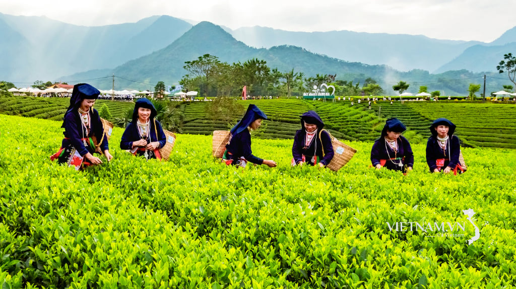
The National Center for Hydro-Meteorological Forecasting said that on the night of September 13, many places in the Northwest (centered on Lao Cai and Son La), Tuyen Quang, the Eastern region from Quang Tri to Gia Lai , the Central Highlands and the South had showers and thunderstorms, with some places having heavy rain.

Rainfall measured from 7pm on September 13 to early morning on September 14 was over 50mm in some places, such as at Tan Phuong station (Lao Cai) 68.6mm, Phuoc Nang station ( Da Nang ) 71.4mm, Xuan Lam station (Dak Lak) 62.8mm, Thu Duc station (HCMC) 53.6mm.

")
The National Center for Hydro-Meteorological Forecasting warns that from early morning to the night of September 14, the Northwest region, Tuyen Quang and from Quang Tri to Quang Ngai will continue to have showers and thunderstorms (uneven), with localized heavy rains over 80mm. These areas may experience heavy rains exceeding 80mm in 3 hours.
This afternoon and tonight, September 14, the eastern provinces from Gia Lai to Lam Dong, the Central Highlands and the South will continue to have showers and thunderstorms, with a common level of 10-30mm, but in some places it will increase compared to the day, with some places having over 100mm. Many areas are at risk of extremely heavy rain of over 100mm in 3 hours (in mountainous areas it often causes landslides).
In Hanoi, today, September 14, the weather continues to be hot with the highest temperature commonly ranging from 34-36 degrees Celsius, some places above 36 degrees Celsius. The reason is due to the influence of the low pressure area in the West combined with the foehn wind effect, causing this area to experience intense heat lasting from noon to afternoon. Meanwhile, in Ho Chi Minh City, the weather today is cloudy, with intermittent sunshine during the day, showers and thunderstorms in the afternoon and evening, with some places having heavy rain with rainfall that can exceed 50mm.
Source: https://www.sggp.org.vn/chieu-va-toi-nay-14-9-nhieu-noi-co-mua-to-post812918.html


![[Photo] Off-road racing: Adventure sport, attractive tourism product](https://vphoto.vietnam.vn/thumb/1200x675/vietnam/resource/IMAGE/2025/9/14/45123bd29c884b64934da038d947d344)


Comment (0)