

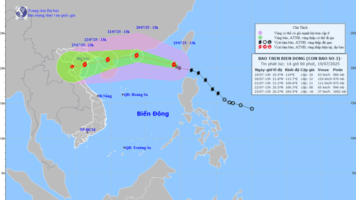
Path of storm WIPHA at noon on July 19
Deputy Director of the National Center for Hydro-Meteorological Forecasting Hoang Phuc Lam said that as of 11:00 a.m. on July 19, 2025, storm WHIPHA was at level 9, up one level in the past 24 hours. It is currently about 1,000 km east of the Leizhou Peninsula (China). This is a strong storm, moving quickly (average speed of about 20 km/h) with areas of heavy rain and strong winds shifting to the west and south.
International typhoon forecasting centers have a unified assessment of the trajectory, but the intensity is different. Accordingly, typhoon No. 3 has the strongest intensity that can reach level 12-13, gusting to level 14-15 when in the eastern area of Leizhou Peninsula (China), moving over mainland China, weakening rapidly; entering the Gulf of Tonkin, the intensity is about level 8-10.
Typhoon WIPHA is a storm that formed in the East Philippine Sea, level 9, on the morning of July 19, crossed the 120th meridian and entered the East Sea (the 6th storm in the Northwest Pacific region and the 3rd storm in the East Sea).
Warning of impact of typhoon WIPHA
The National Center for Hydro-Meteorological Forecasting warns of the impacts caused by storm No. 3. Specifically:
Strong winds, big waves at sea: The biggest and most dangerous risk in the next 24 hours is strong winds, big waves in the Northern and Central areas of the East Sea (Hoang Sa special zone); the northern sea area of the North East Sea where the storm passes through has wind intensity of level 10-12, gusts of level 15, waves 3-5m high, near the storm center 4-6m.
From around July 20-21: Special zones of Bach Long Vi, Co To, Cat Hai... are likely to be greatly affected by strong winds and heavy rains caused by storm No. 3.
Around the morning and on July 22, the coastal waters from Quang Ninh to Thanh Hoa will begin to be directly affected by strong winds, heavy rains and rising waters with winds of level 7-9 and waves of 3-5m high. Large waves combined with high tides can cause flooding in low-lying areas along the coast of Quang Ninh - Hai Phong (from noon and afternoon on July 21-23).
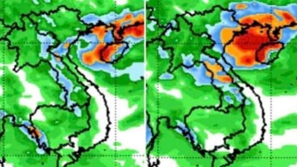
Strong winds, rain, floods on land: The area affected by storm No. 3 is wide, almost the entire Northeast region, some places in the Northwest, North Central provinces: Directly affected include Quang Ninh, Hai Phong provinces, coastal provinces of Hung Yen, Ninh Binh, Thanh Hoa are forecasted to be most affected by the storm. Storm No. 3 is forecast to cause widespread heavy rain in the North and Thanh Hoa - Ha Tinh provinces; in which in the midlands and the Northern Delta, Thanh Hoa, Nghe An, the rainy period from July 21-24, some places will have localized heavy rain with rainfall over 150mm/3 hours.
From (July 21-24), on rivers in the North, Thanh Hoa, Nghe An, there is a possibility of a flood, with flood amplitude from 3-6m.
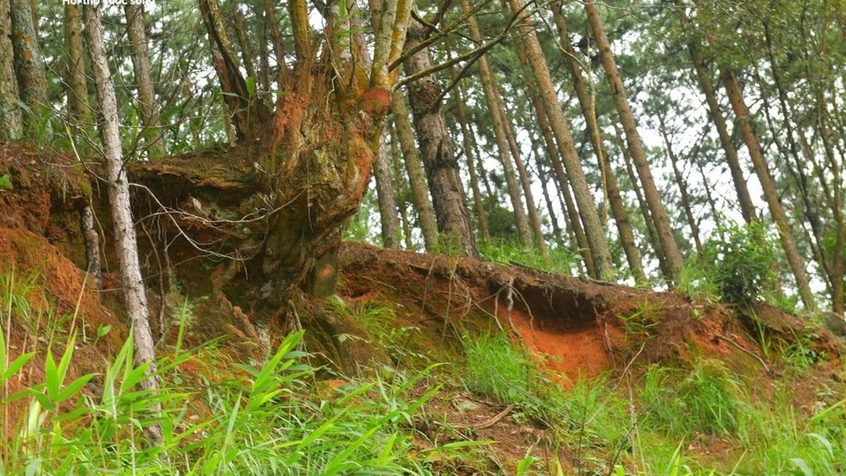
High risk: Flooding in low-lying areas along rivers, urban areas, and densely populated areas. Flash floods and landslides on steep slopes in mountainous areas of the North and Thanh Hoa and Nghe An.
Prepare response plans for each area
To proactively respond to storms and the risk of heavy rain, floods, inundation, flash floods, and landslides, hydrological experts recommend:
For the sea route from Quang Ninh to Dak Lak: Closely monitor the storm's developments; strictly manage the means of transport going out to sea; organize the counting and notify the owners of the means of transport, captains of ships and boats operating at sea of the location, direction of movement and developments of the storm to proactively avoid, escape, not move into dangerous areas or return to safe shelters. Dangerous areas in the next 24 hours: from 18.0-23.0 degrees North latitude, east of 114.5 degrees East longitude (dangerous areas are adjusted in forecast bulletins).
Implement work to ensure safety of people, vehicles, and property, especially for tourist destinations, aquaculture, fishing, and constructions at sea, on islands, and in coastal areas.
Based on the specific situation, proactively decide to ban fishing boats, transport ships, and tourist boats from going to sea and evacuate people from cages, rafts, and watchtowers for aquaculture along the coast, at sea, and on islands to ensure safety.
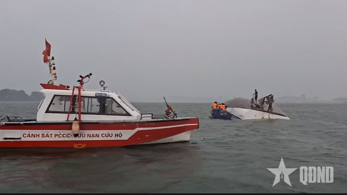
Ready forces and means for rescue when required.
For onshore areas in the North and North Central regions:
Delta: Check and be ready to evacuate people from unsafe housing, areas at risk of deep flooding, river mouths, and coastal areas.
Directing the work of ensuring safety of sea dikes and river estuaries, especially at vulnerable locations or locations under construction.
Actively drain buffer water, prevent flooding to protect agricultural production, urban areas and industrial zones at risk of flooding.
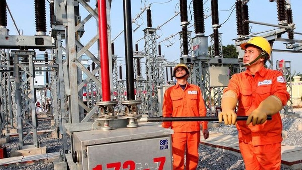
Organize tree pruning; brace and reinforce signs, houses, public works, industrial parks, factories, warehouses, and projects under construction. Check, review, and take measures to ensure the safety of telecommunications systems and power grid systems to maintain operations without interruption before, during, and after storms.
Proactively organize the harvesting of agricultural products and aquaculture areas according to the motto "green house is better than old field".
For mountainous areas: Deploy shock forces to inspect and review residential areas along rivers, streams, low-lying areas, areas at risk of flooding, flash floods, landslides to proactively clear the flow of blocked and obstructed areas; organize the relocation and evacuation of people to safe places; direct commune-level authorities to notify each household living in areas at risk of landslides and flash floods to inspect and review the area around their residence to promptly detect unusual and dangerous signs in order to proactively evacuate from dangerous areas.
Prepare plans to organize forces to guard, control, support, and guide to ensure safe traffic for people and vehicles, especially at culverts, spillways, deeply flooded areas, areas with strong currents, areas where landslides have occurred or are at risk of landslides; resolutely not allow people and vehicles to pass if safety is not ensured; arrange forces, materials, and means to overcome incidents, ensuring smooth traffic on main traffic routes when landslides occur.
Direct the inspection, review, and preparation of plans to ensure the safety of mines, mines, reservoirs, and downstream areas, especially small hydroelectric reservoirs, small irrigation reservoirs, and critical reservoirs; arrange a permanent force to operate and regulate and be ready to handle possible situations.
Thu Cuc
Source: https://baochinhphu.vn/bao-wipha-di-chuyen-nhanh-gay-mua-lon-dien-rong-102250719132535617.htm


Comment (0)